After a week and a half in Idaho, I can safely say it’s one of the most beautiful places I’ve ever visited.
Most of my fellow East Coast friends seem to associate Idaho with potatoes and farmland. And while it certainly does yield some of the most delicious spud-tacular starch puppies in the country. It’s definitely so much more than that.
Idaho is a land of pristine mountains, canyon-filled deserts, and sophisticated towns filled with the nicest people around.
Much of the landscapes are yet to be discovered on social media, meaning that your exploration of the state won’t be filled with the usual crowds like many other destinations.
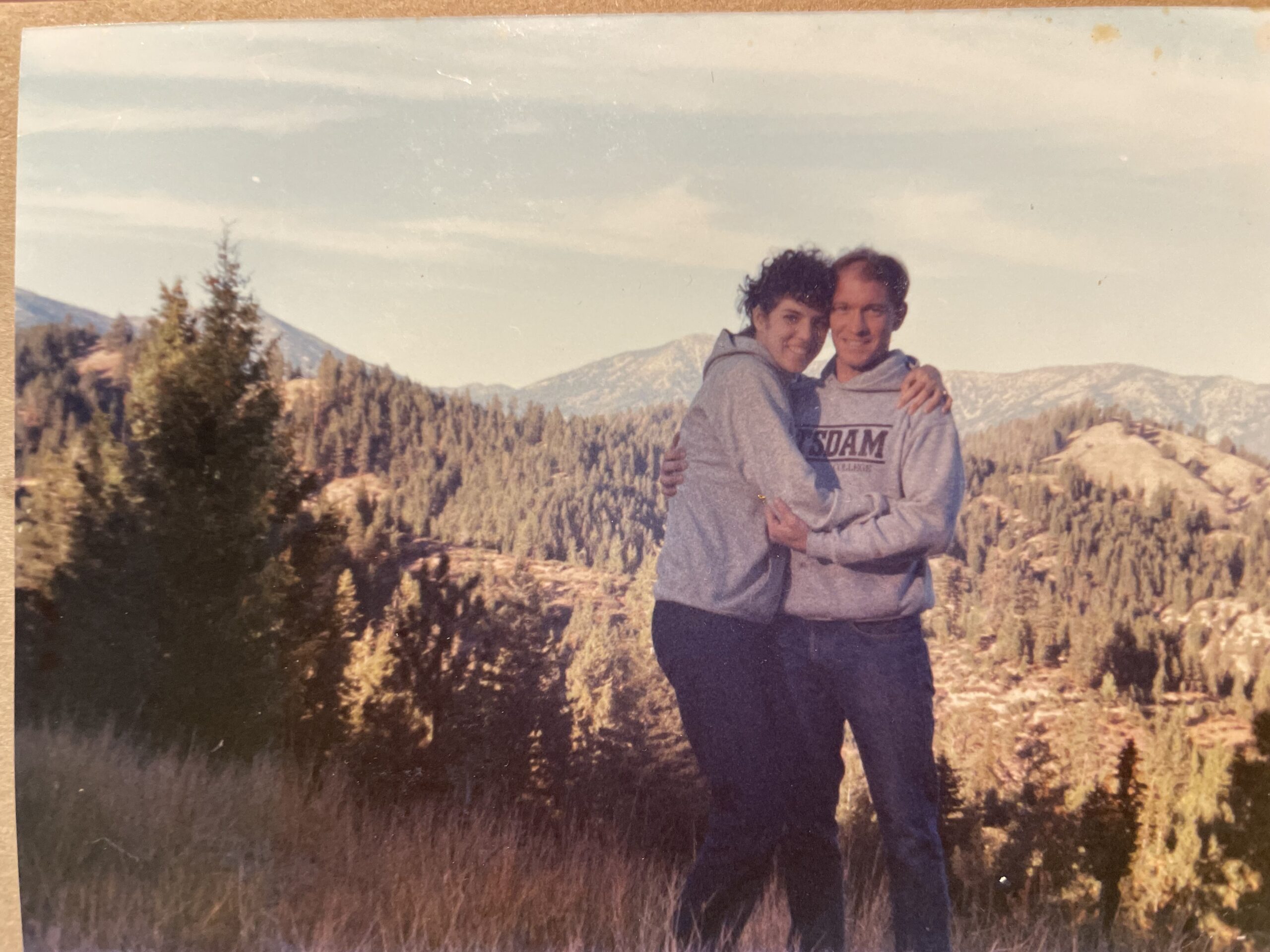
Idaho was first put on my radar after looking through my parent’s old photo albums.
The destinations include:
- A 70-mile backpacking loop through the Sawtooth Mountains.
- Hanging out in Ketchum and exploring the town/surrounding areas.
- Camping in Craters of the Moon National Monument.
- Visiting Shoshone Falls and some of the other water features in the Twin Falls area.
- Sandboarding in Bruneau Dunes State Park, and visiting Bruneau Canyon.
- Somehow exploring the mostly roadless Oyhee Mountains.
- Exploreing Boise.
- Connecting the destinations using as many Scenic Byways as possible!
I’ve never been much of a planner, and so other than a rough location list, I figured I could just “wing” the trip. Looking back I’m so glad that I did, Idaho is one of those places where it’s easy to have an adventure.
Arriving
I landed in Boise, which is such a charming city! There was NO shortage of outdoor stores, so I had an easy time stocking up on food and supplies for the days to come.
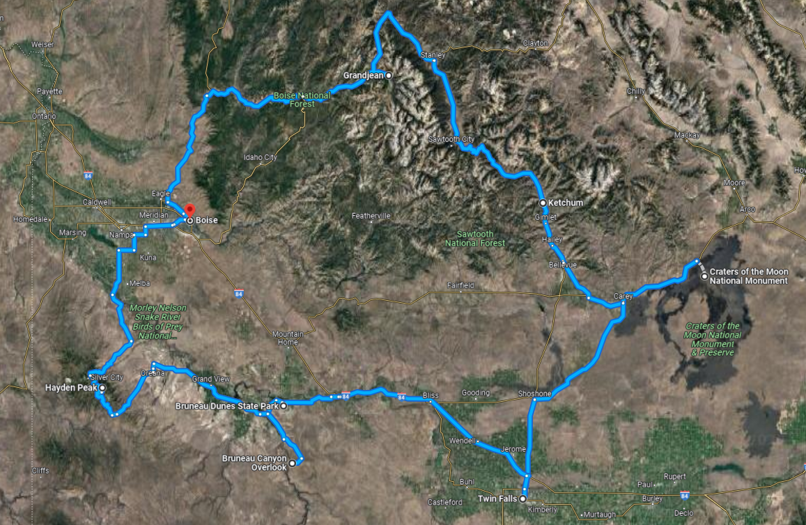
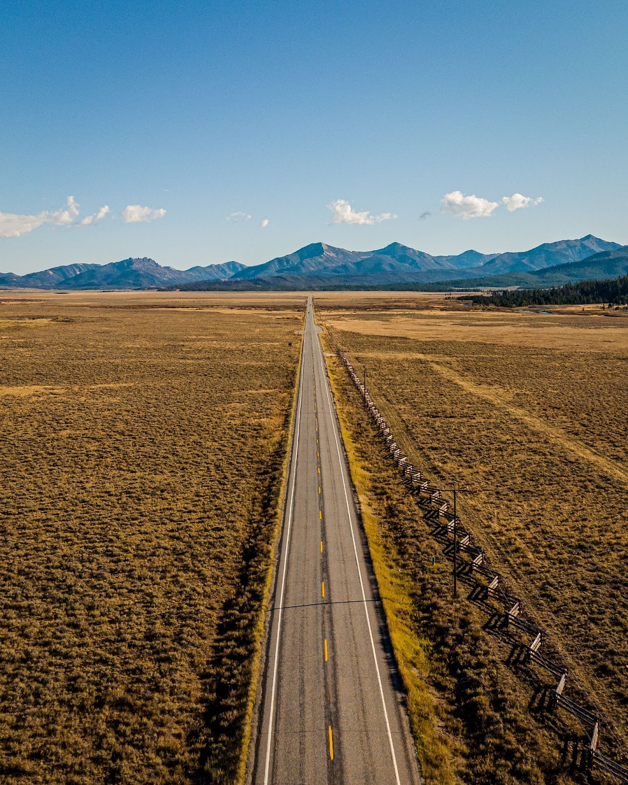
Idaho’s Scenic Byways
Idaho has 31 scenic byways, ranging from well-paved highways to gravel backcountry roads. I planned on connecting as many of them as possible in my travels.
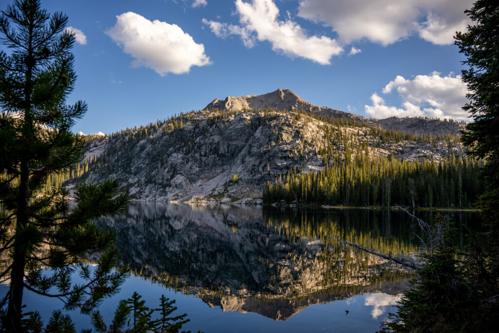
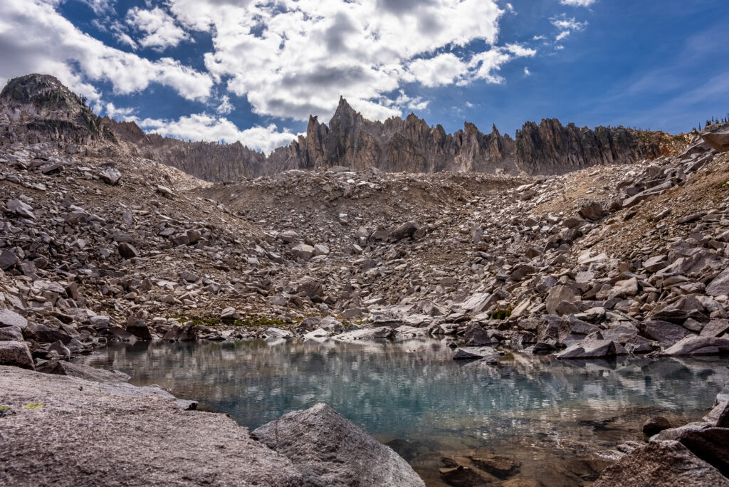
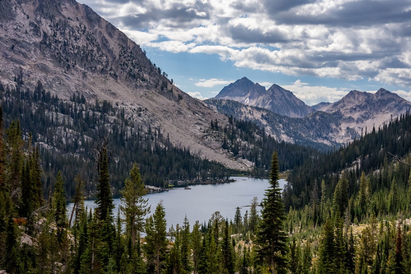
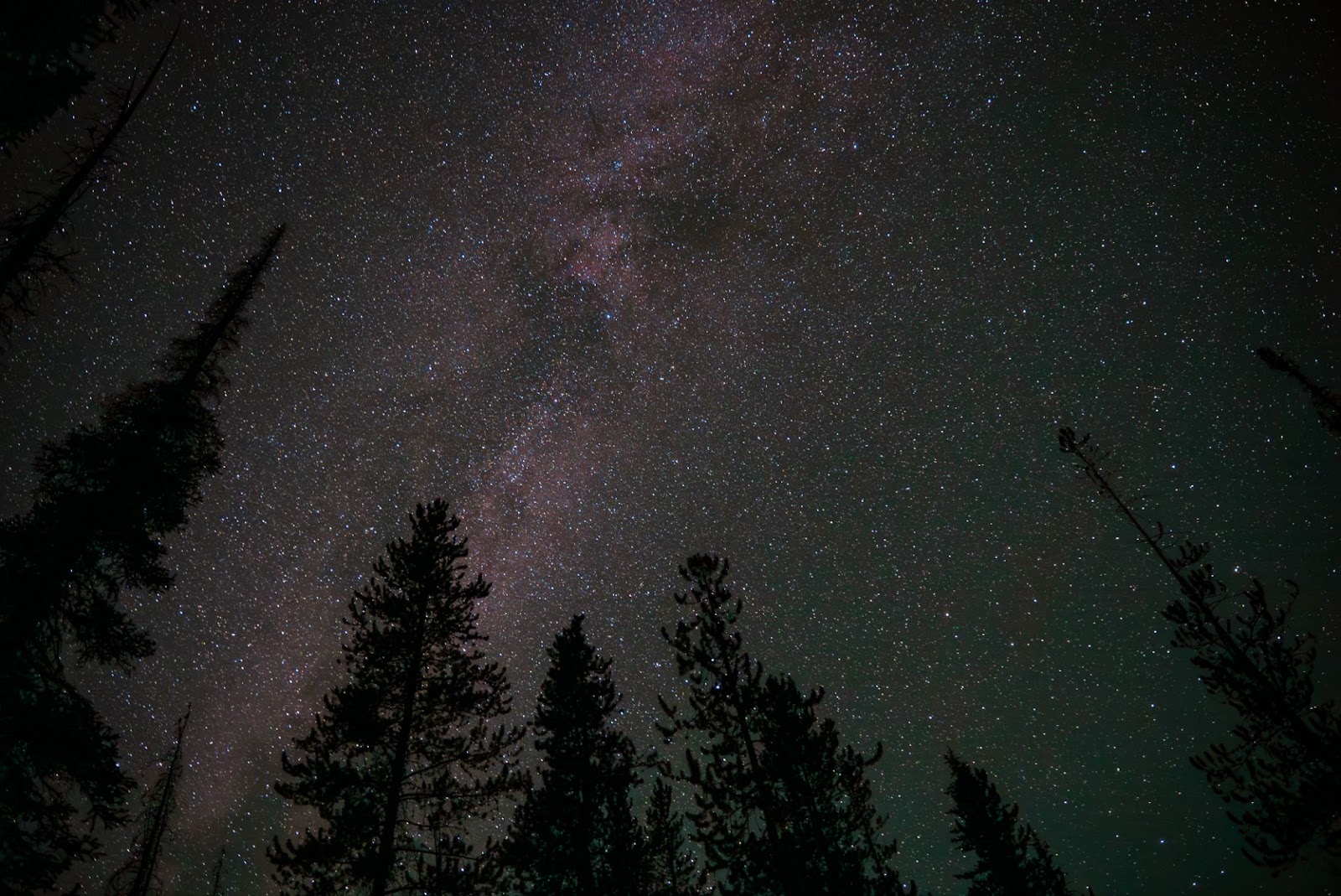
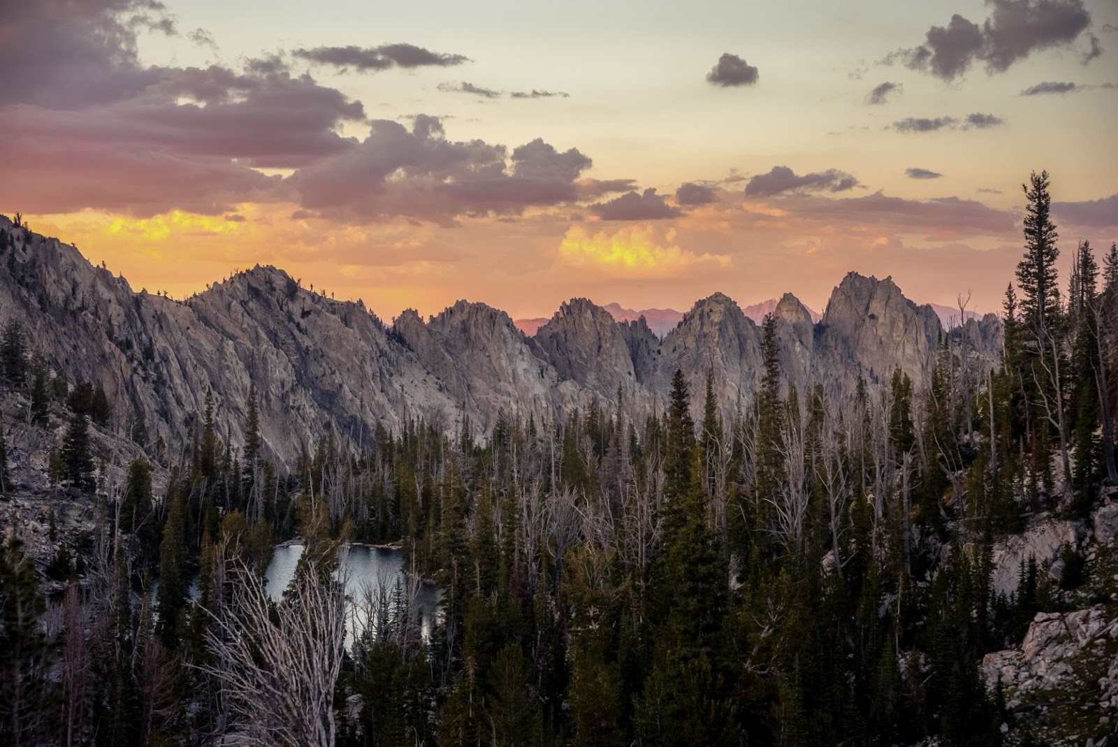
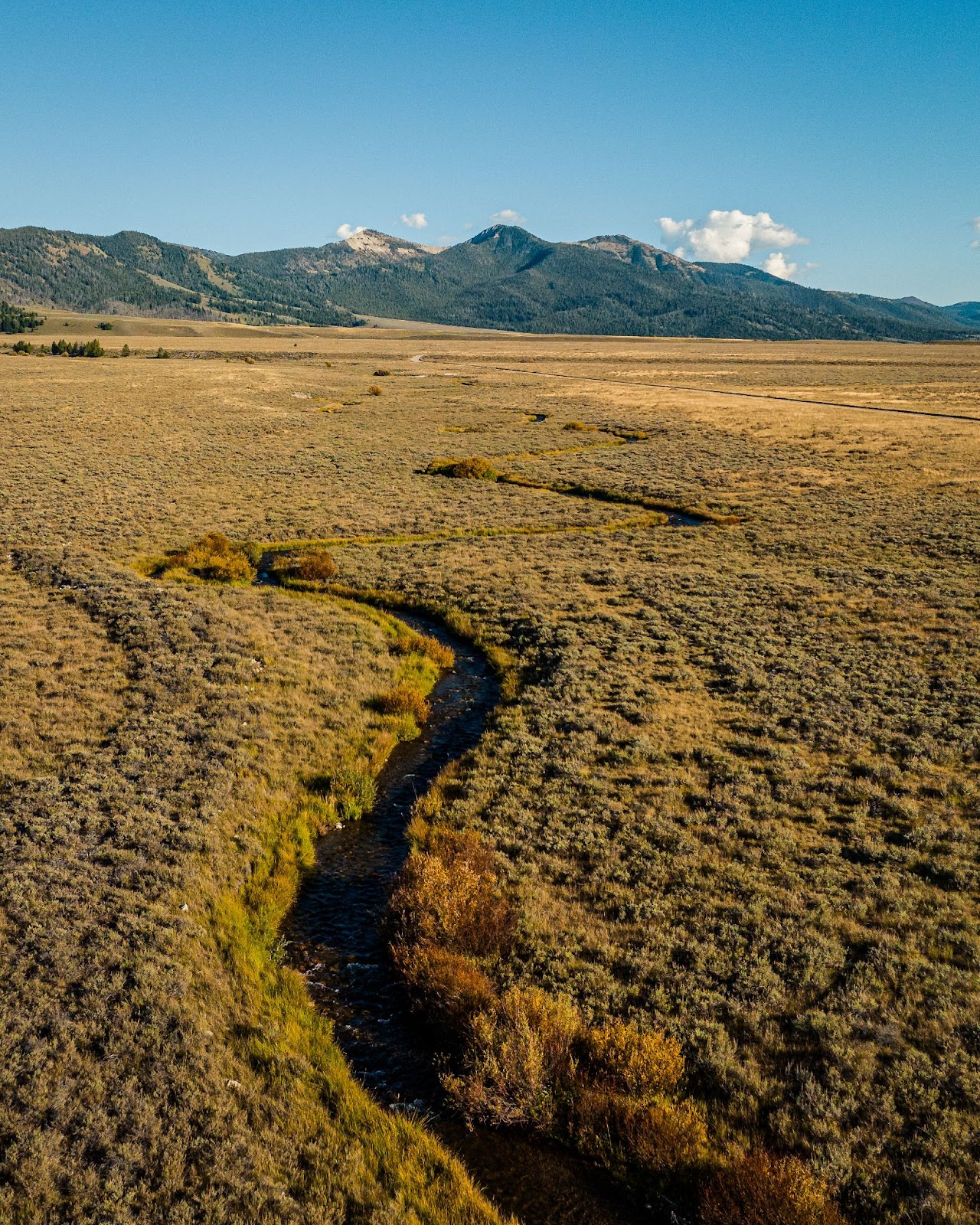
Stop One: The SAWTOOTHS!!!
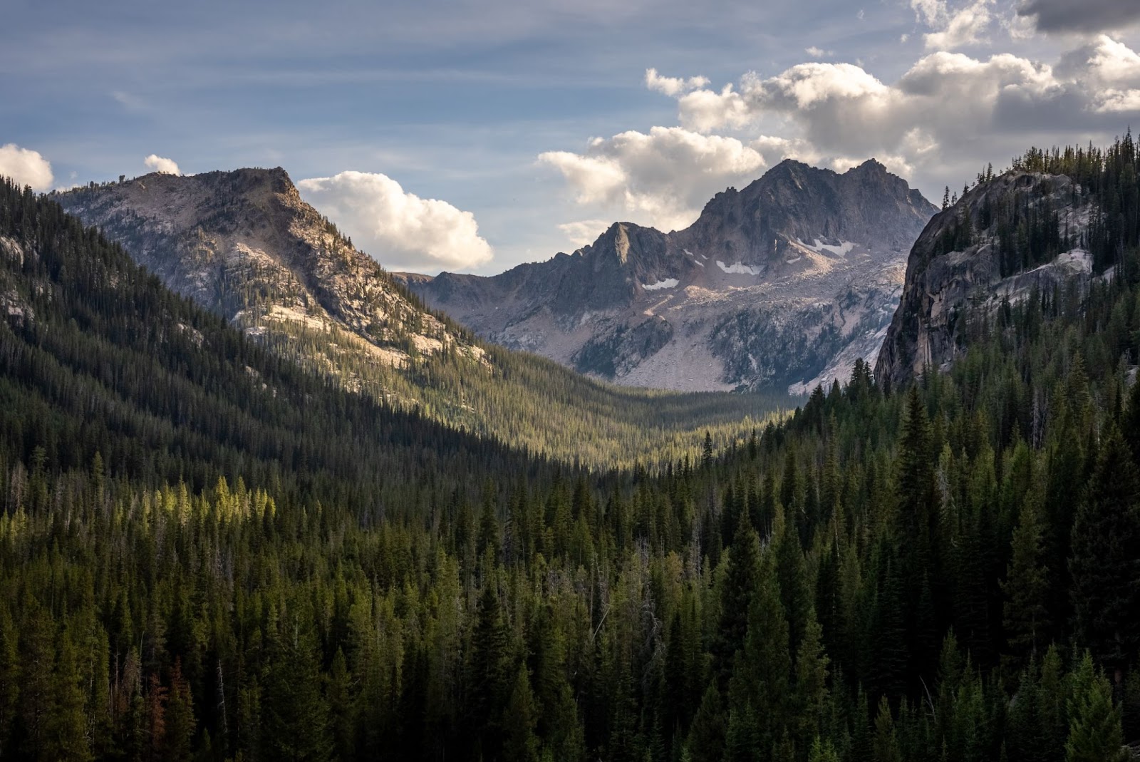
As a huge backpacker, I knew this would probably be my favorite part (or so I thought). Towering granite peaks, lush alpine meadows, and the most turquoise-blue lakes I had ever seen in my life surrounded me for five days straight. There were certainly some difficult sections, but the beauty and seclusion did wonders for my soul, making the hard parts more than worth it.
Getting from Boise to Grandjean is almost entirely on scenic byways, even if you’re not doing any hiking, just driving to this trailhead could be a day trip on its own.
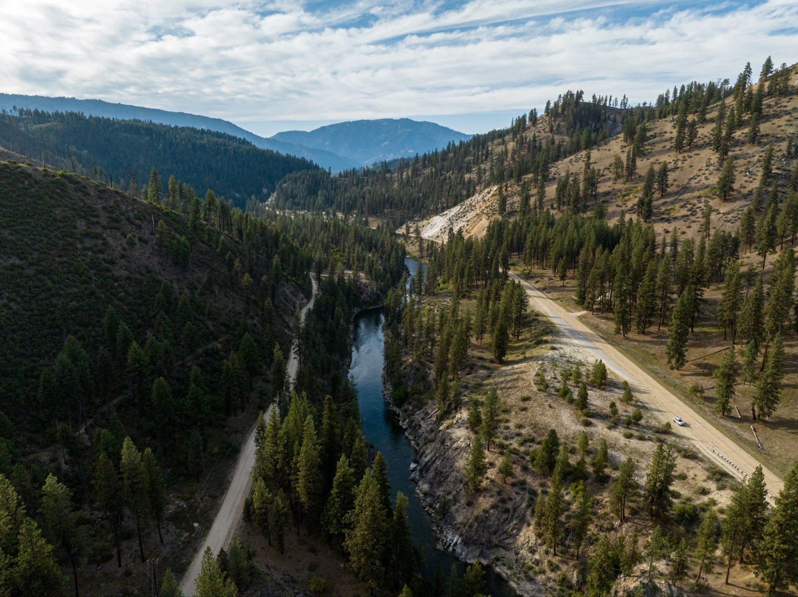
A pulloff on the Ponderosa Pine Scenic Byway, between Boise and Grandjean.
The Backpacking Route
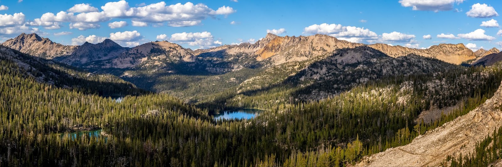
The Sawtooth Wilderness Loop is the obvious choice for backpackers, in this 70-mile loop, you move through some very diverse landscapes, and reach some of the innermost depths of the Sawtooth Wilderness area. With the exception of Sawtooth Lake, I saw an average of one person per day.
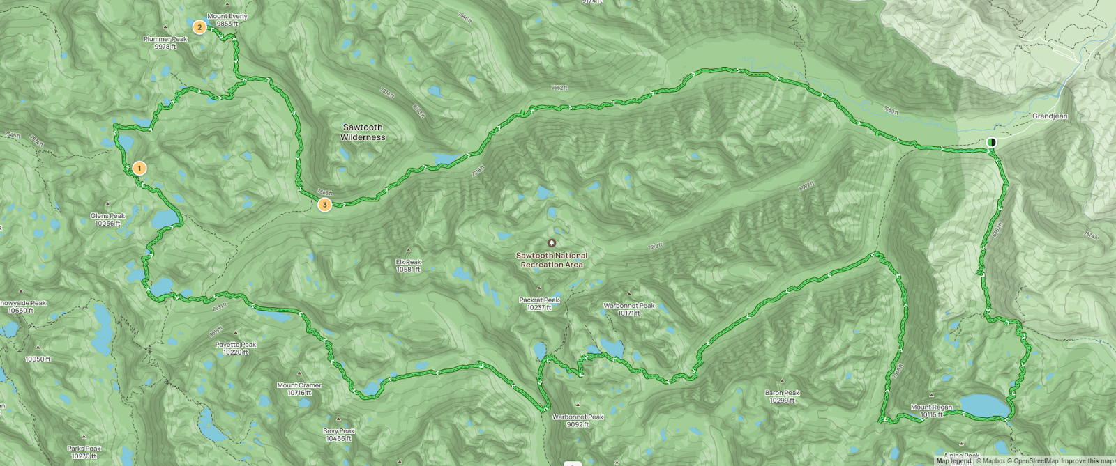
You can find an interactive map HERE.
The Route has a staggering 13,000ish ft of elevation gain, so you’ll definitely want to be in good shape for this.
The Itinerary
The route begins at the Grandjean trailhead. There was plenty of parking available and an easy self-serve wilderness permit at the kiosk. A refreshing change of pace from the usual popular hikes where you need to book a permit months in advance.
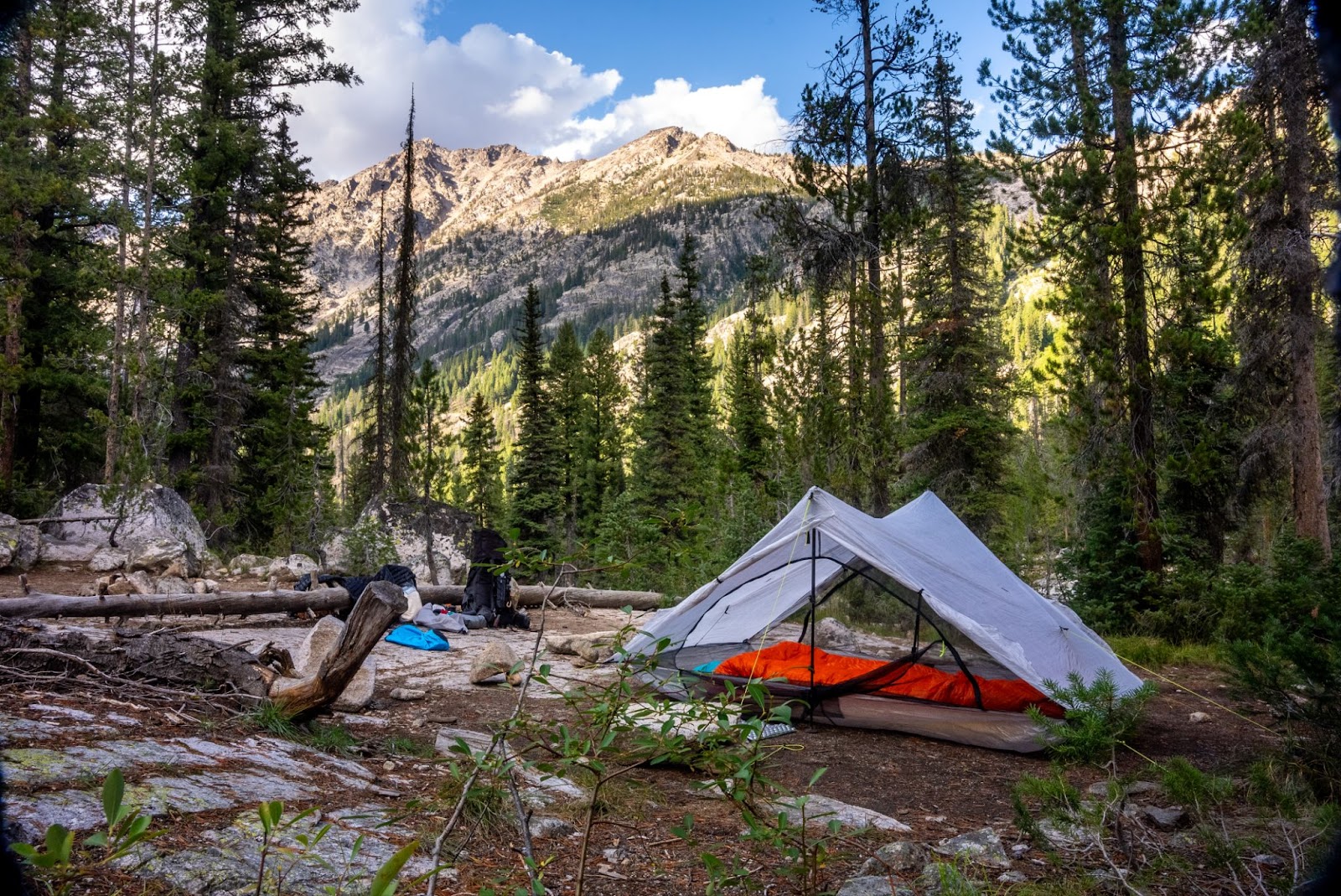
Day 1
About a half mile into the trail, you get to a fork, you can either head left up to Sawtooth Lake or take a right and begin a gradual climb up through forest and meadows. I opted to go right to avoid having to climb the worst of the elevation with five days of food on my back.
Views aren’t quite as frequent in this first section, but it’s a very pleasant stretch of forest nonetheless. After the gradual climb, I reached my first campsite at Smith Falls. You’re pretty much just on top of a waterfall with a mountain towering over you in the distance. The gentle roar of the waterfall put my weary bones to sleep for a great night’s rest.
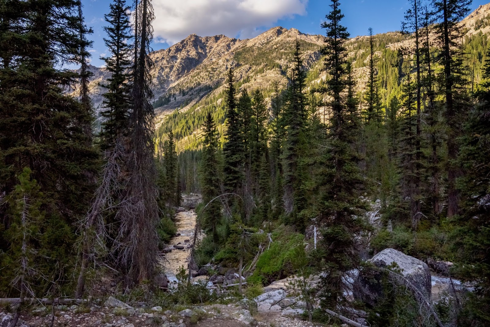
Day 2
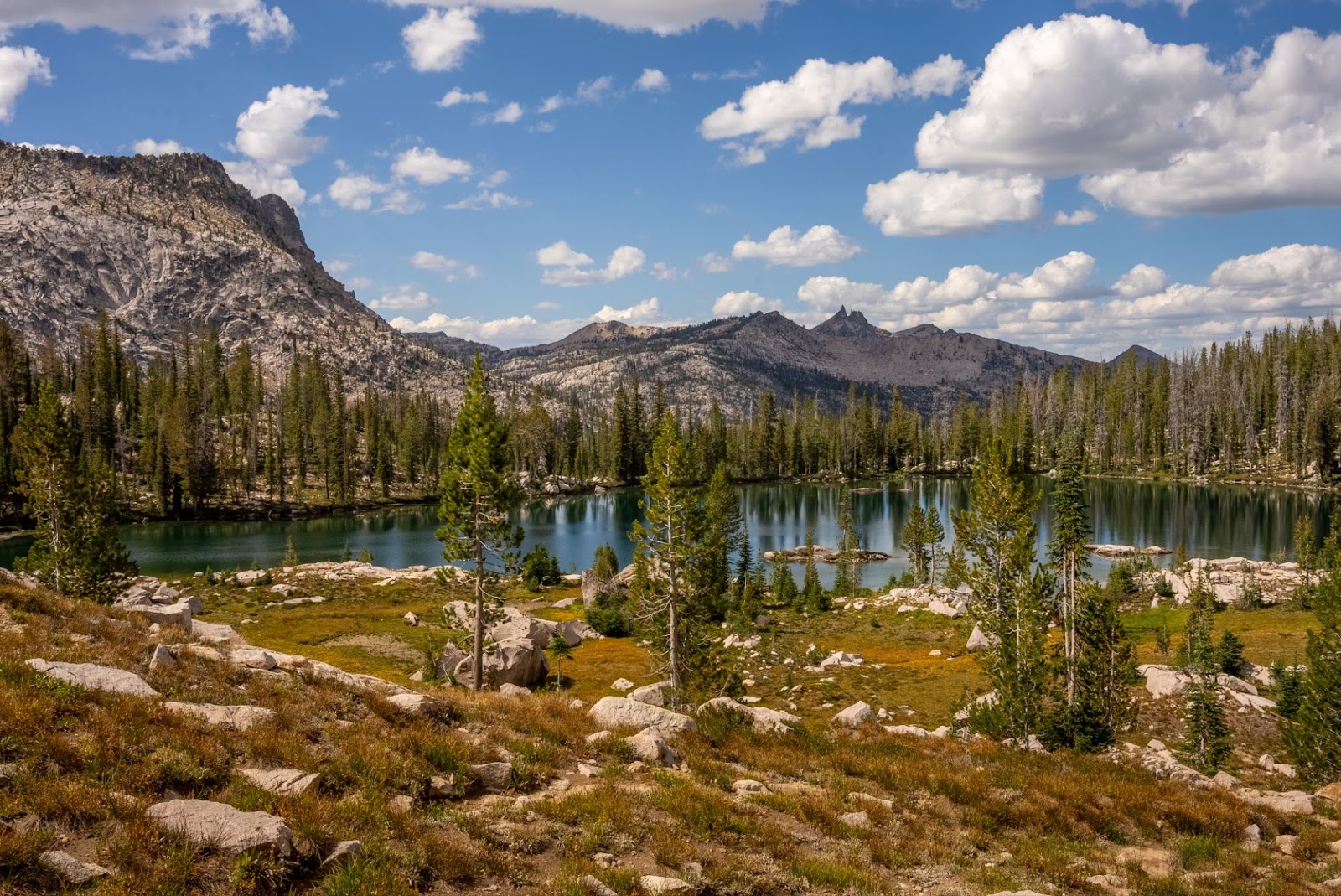
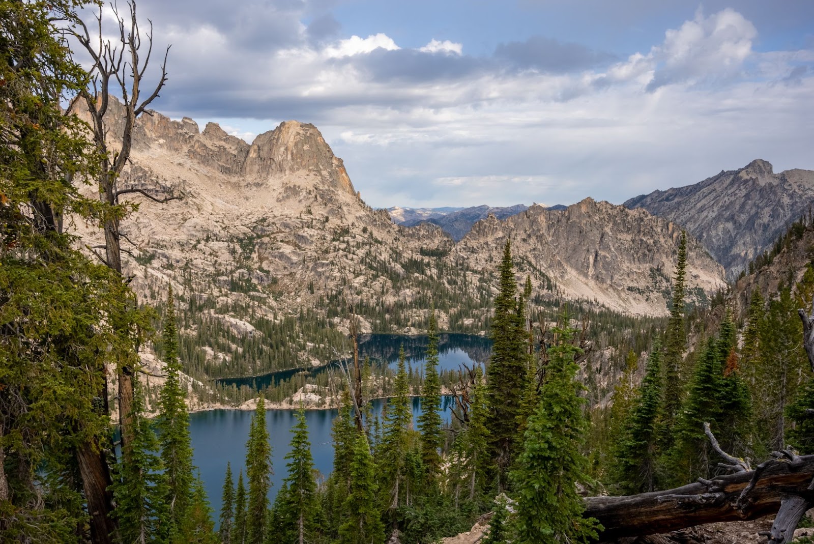
This is where things start to pick up a bit, after a few miles in similarly forested scenery, you reach the sub-alpine zone. Things open up a bit, and the real views begin!
The rest of the route meanders through sub-alpine territory with dozens of lakes. Around pretty much every corner I had to stop for a moment and absorb the jaw-dropping scenery that surrounded me.
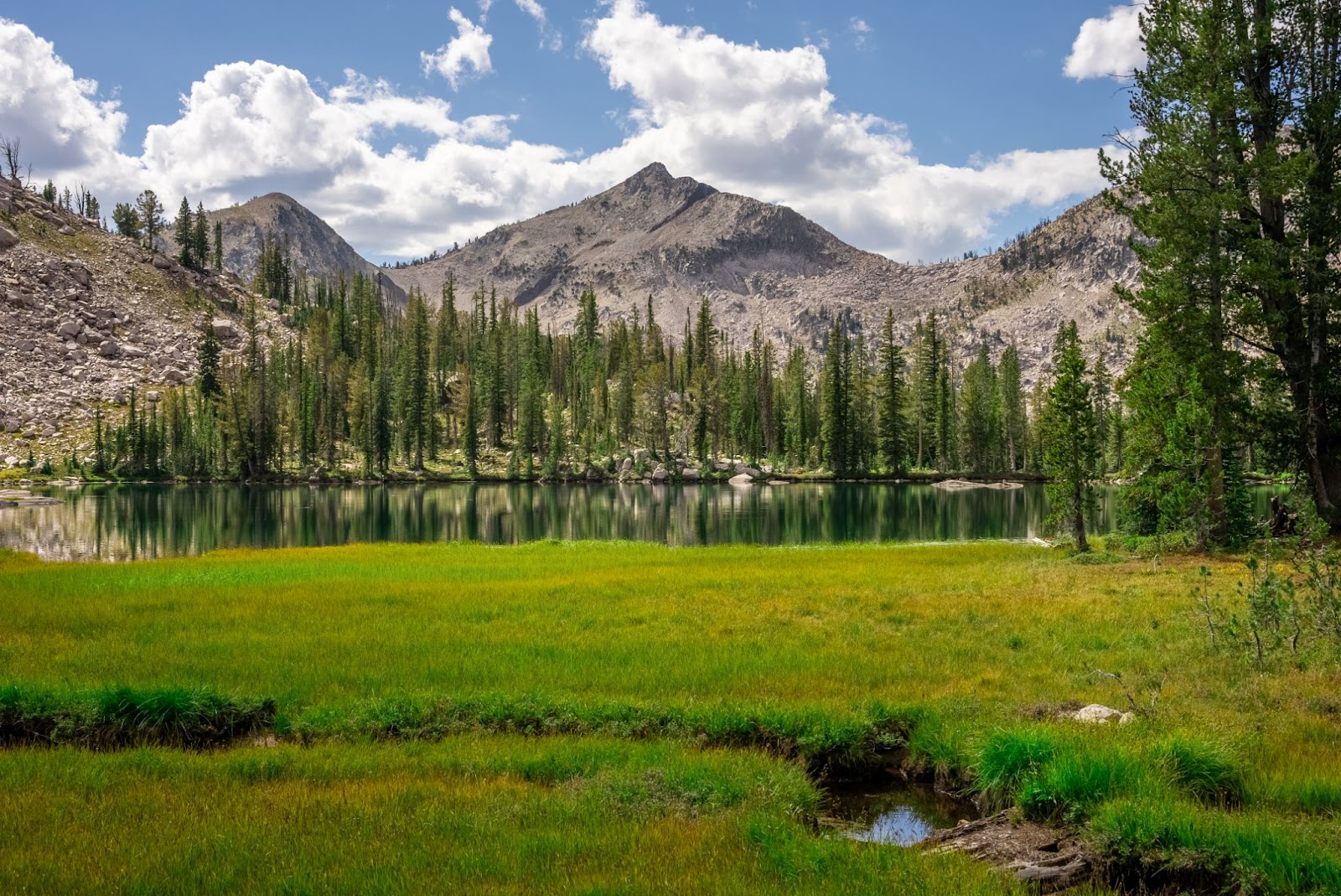
I ended my day at a lovely campsite on Ardeth Lake, pounded some instant noodles, and hit the hay.
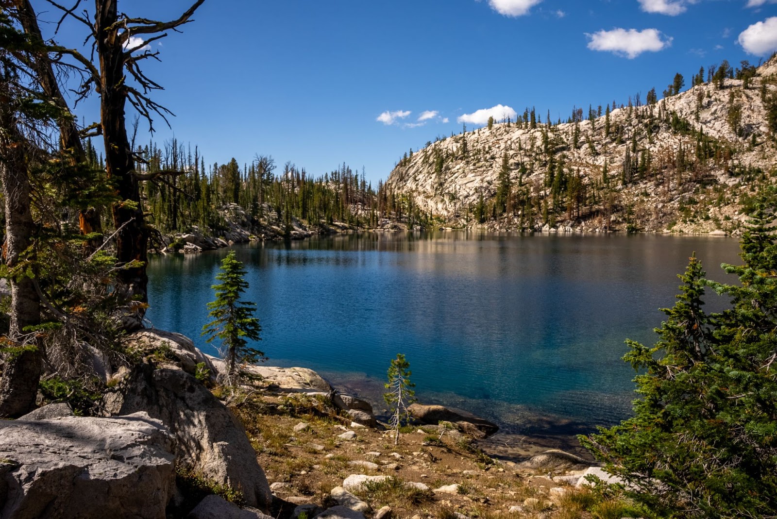
Day 3
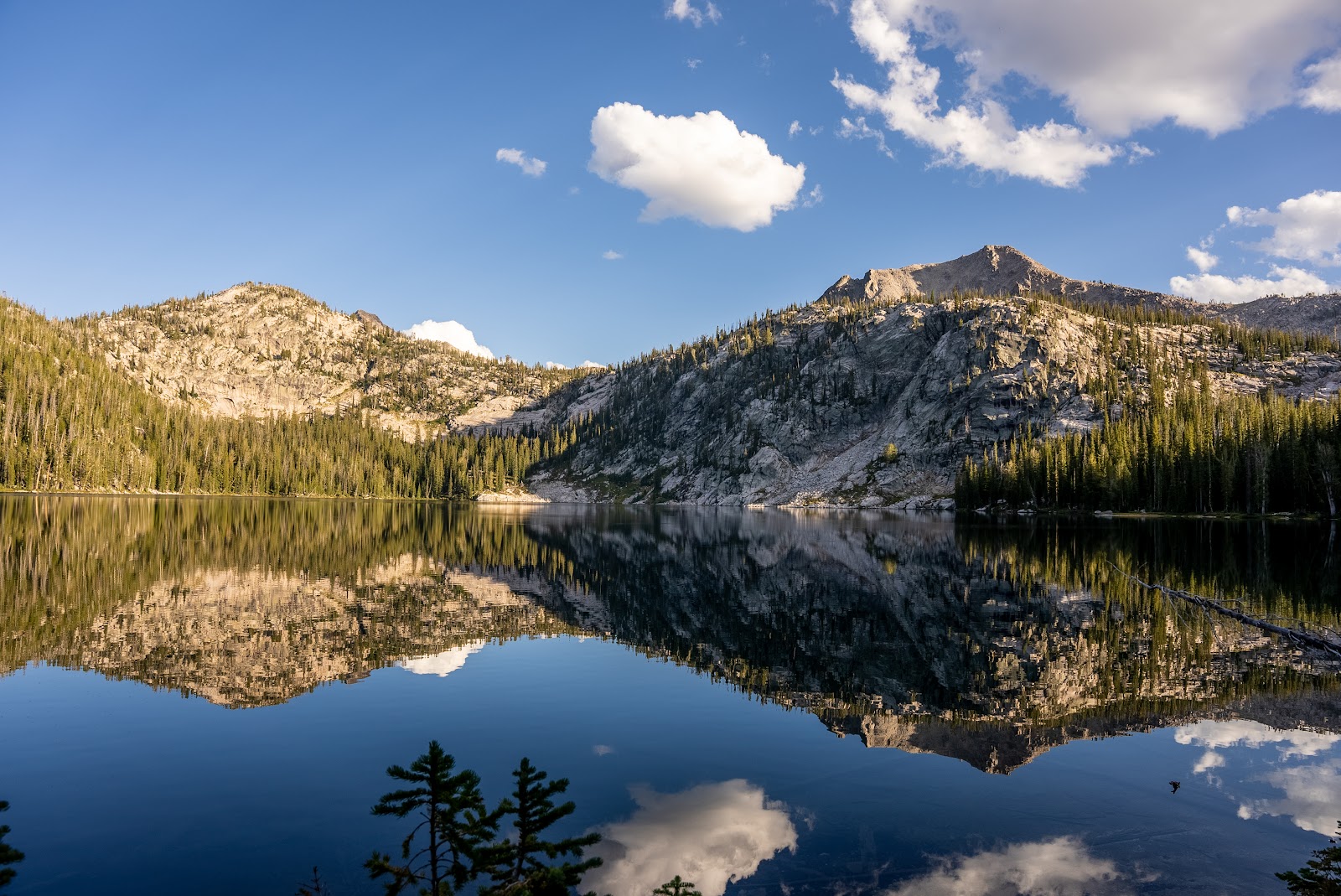
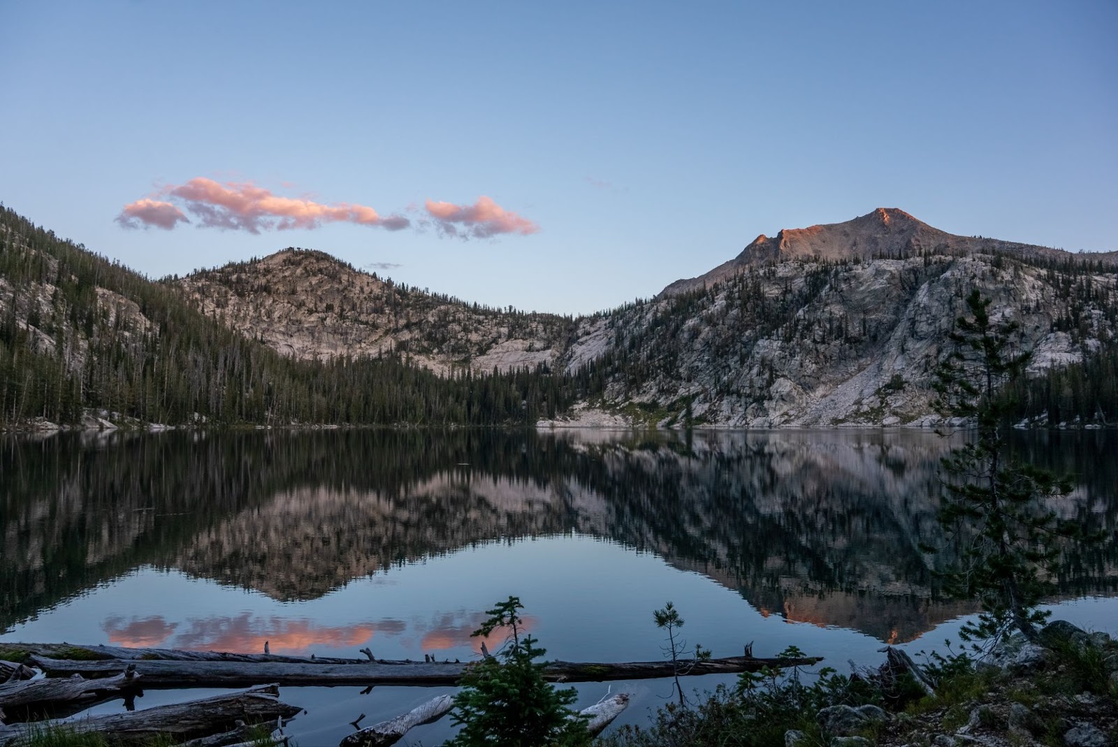
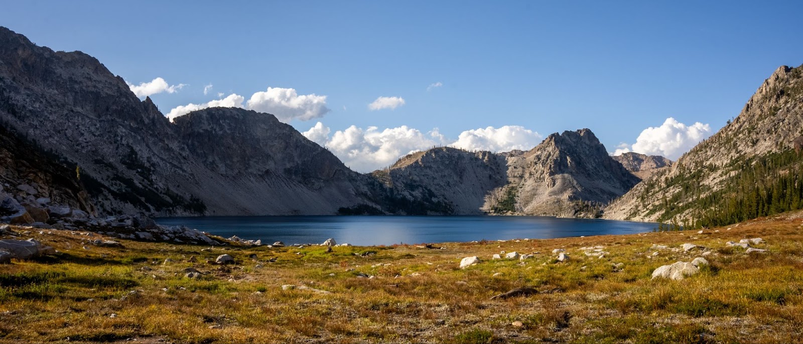
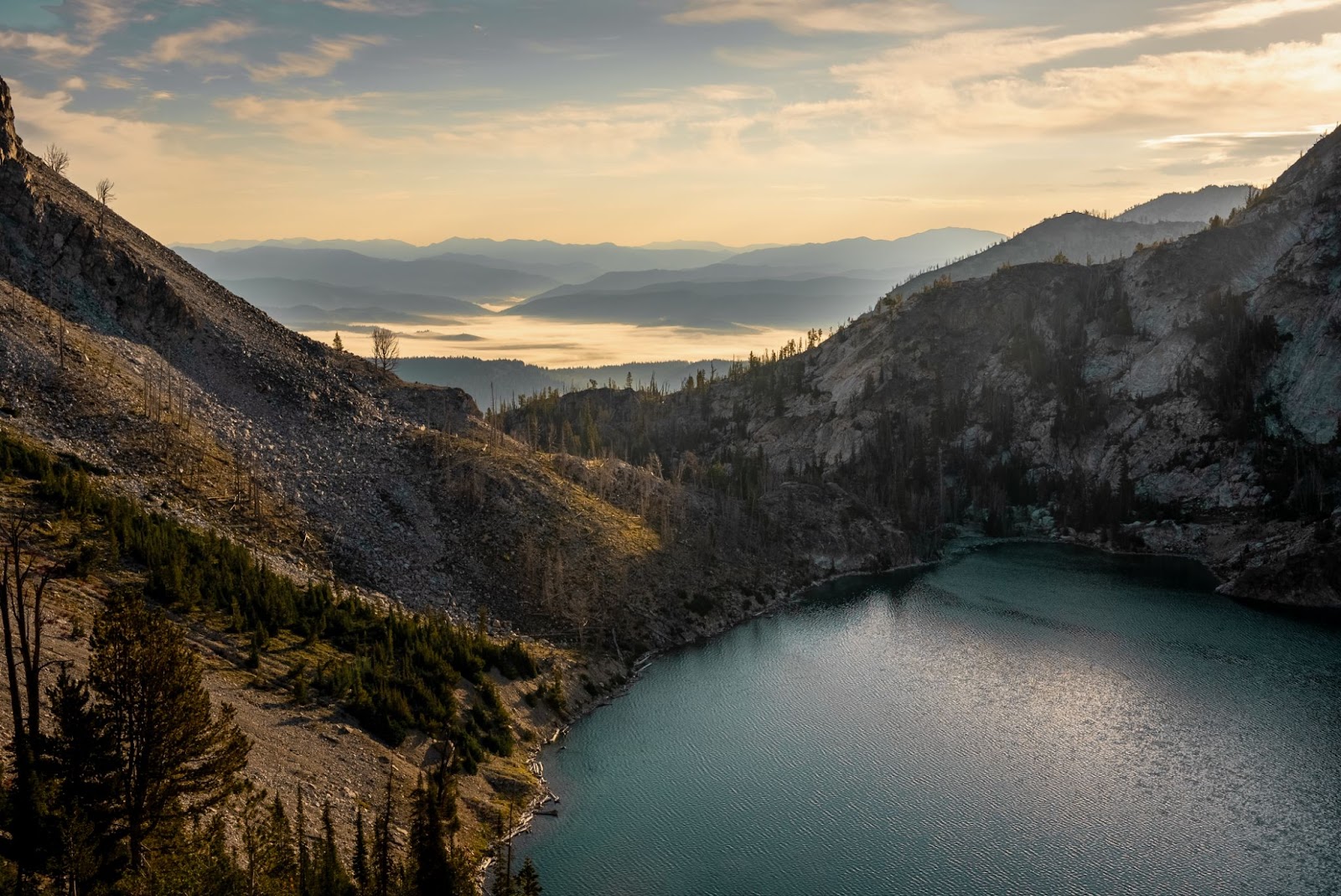
Ardeth Lake was still in the morning, the mountain peaks reflecting in the still water.… GORGEOUS. The rest of this day was a lot more meadow meandering, as well as two rocky passes that brought me well above tree line.
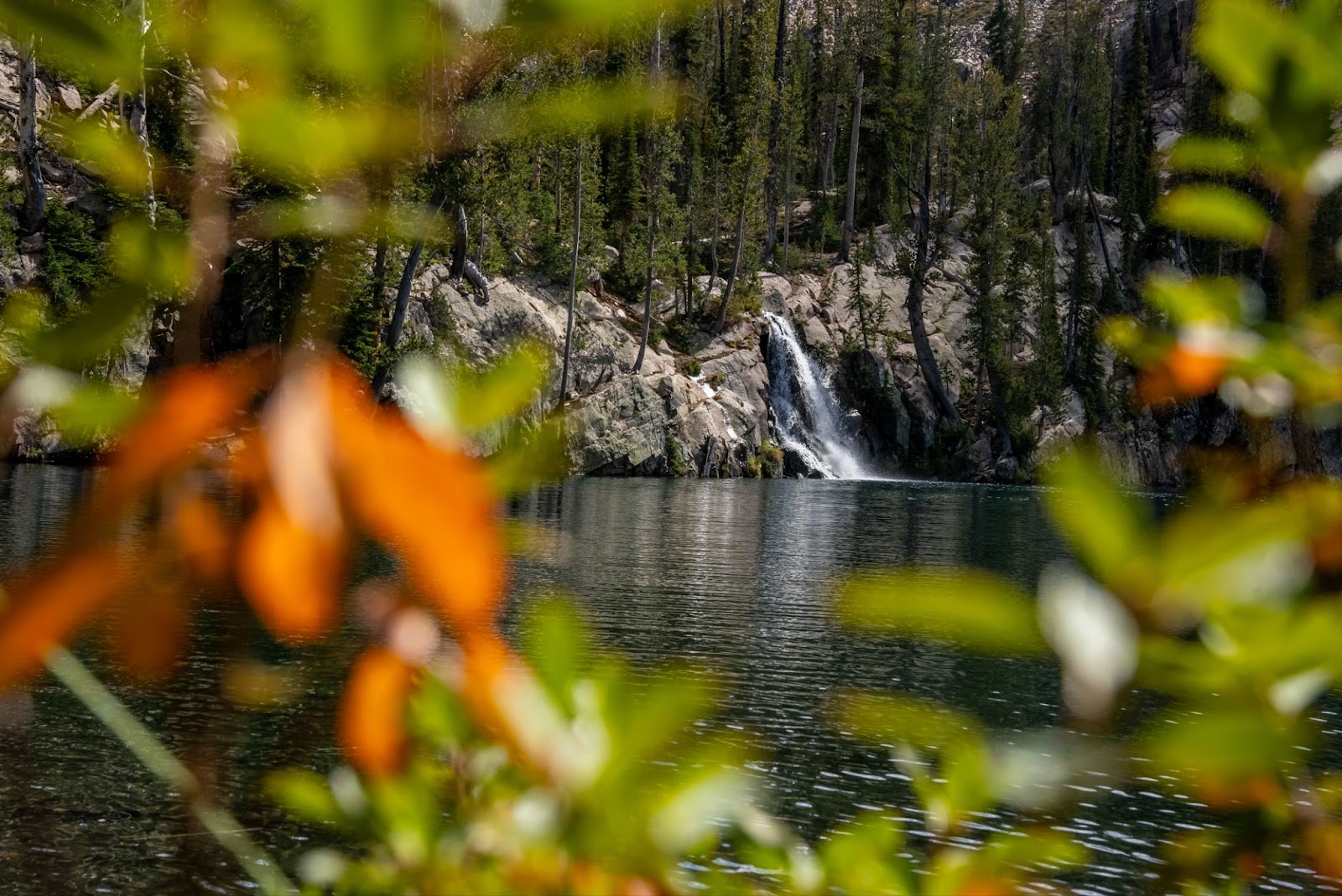
I swam in a lake to rinse off the afternoon sweat and finished my day on the aptly named “Alpine Lake” for another great day, with great views.
Day 4
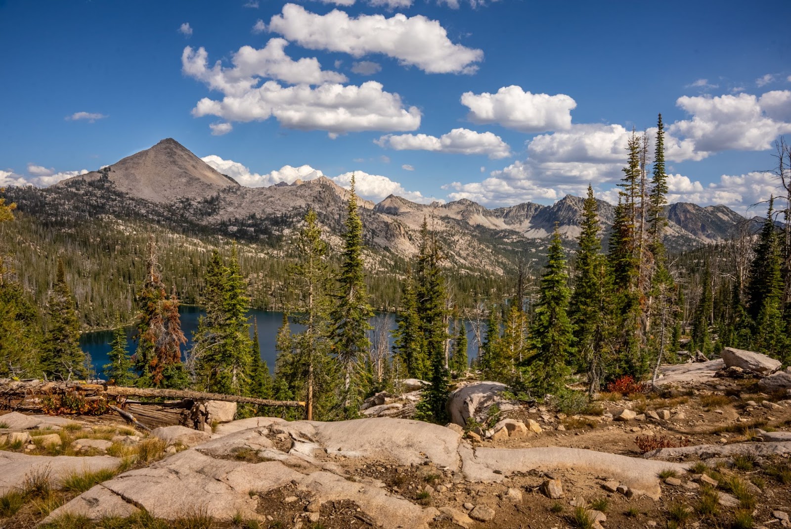
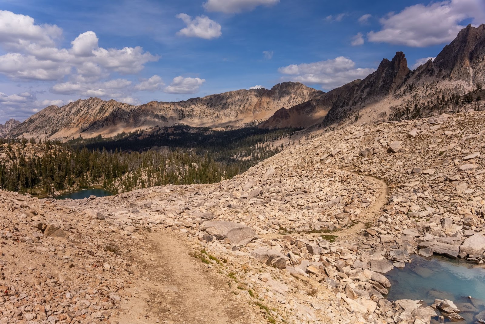
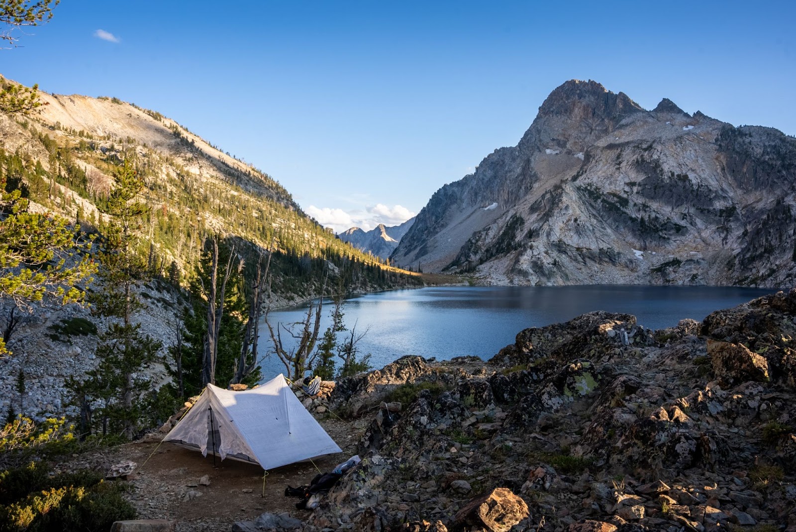
This was probably the hardest day on the books, but still equally as beautiful as days two and three. I started my day with another all-stone pass, with views down into the crystal clear lakes below. At around 9000 feet, I now had to descend down to 6000 feet, and then BACK up to 9000 feet.
This section up to Sawtooth Lake was fairly overgrown but still easy to follow. But the moment I made it to the top and caught that first glimpse of that sweet sweet lake, my morale skyrocketed like a bullet straight into the air! I couldn’t resist taking a dip, and then set up a gorgeous campsite, watched a sunset, and tucked in for a well-deserved rest.
Day 5
I awoke with burgers and beer on my mind, as I knew that this evening, I would dine on something other than freeze-dried backpacking food. This last stretch was a breezy downhill descent back to the trailhead.
I arrived back at the trailhead victoriously around noon and hit up the Grandjean store for a burger and a beer. MAGIC.
Stop Two: The Not so Wild Side of Idaho
After five days in the wilderness, I was ready to spend a day in town and relax. Visions of burgers, doughnuts, burritos, and other tantalizing treats flashed through my head as I got closer to the town of Ketchum.
After all the walking I had done, it felt (and looked) great zooming through the Sawtooth Scenic Byway on the way back to civilization.
I finally got into town and checked into the Limelight Hotel. They had a great restaurant, I got a chicken sandwich with truffle fries, and some elaborate cocktail I couldn’t pronounce.
The next morning I attacked an all-you-can-eat breakfast buffet with a vengeance and began planning the rest of my trip. I spent the rest of the day trying out coffee shops, and restaurants, and exploring the town.
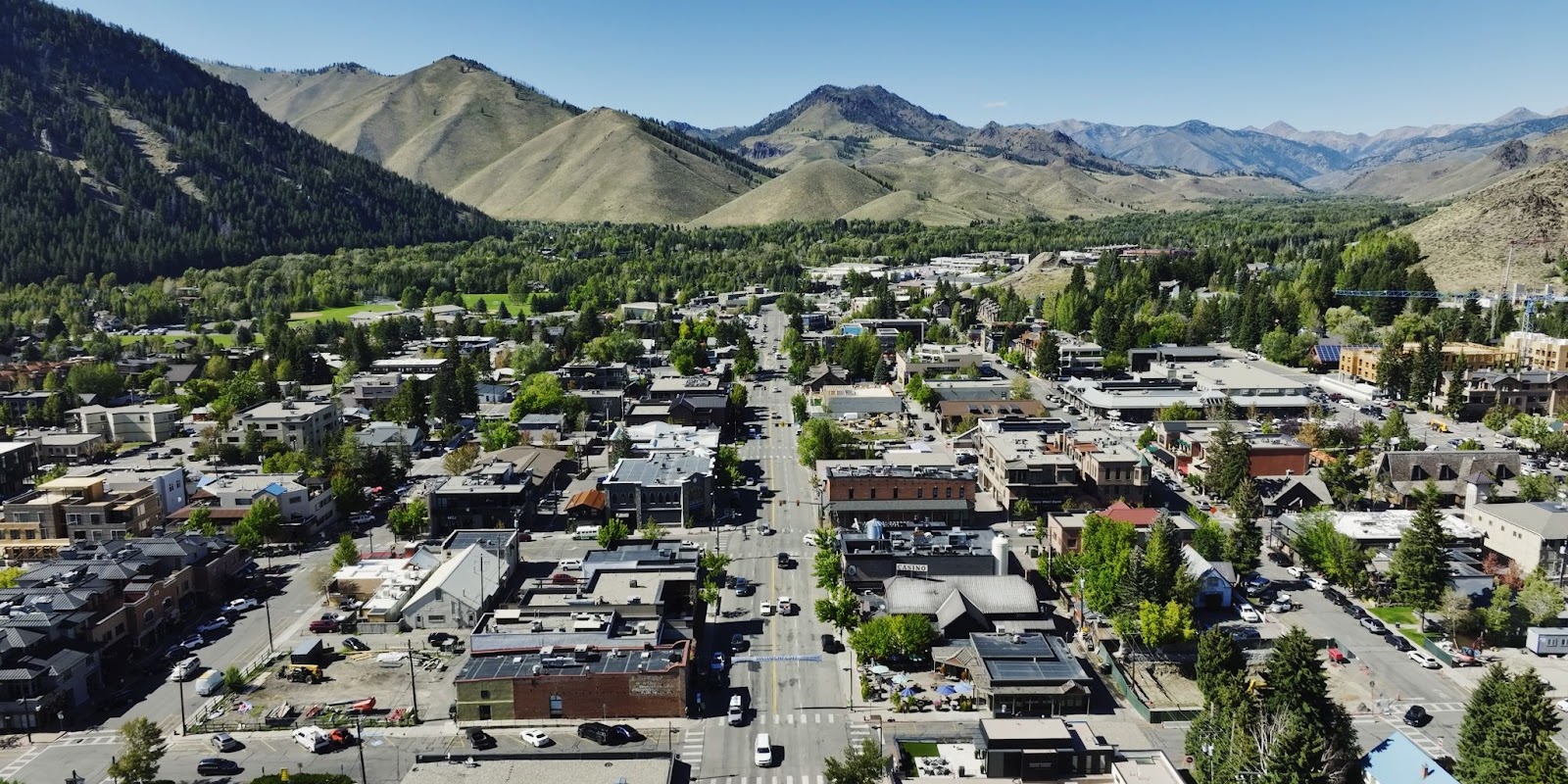
Ketchum Idaho.
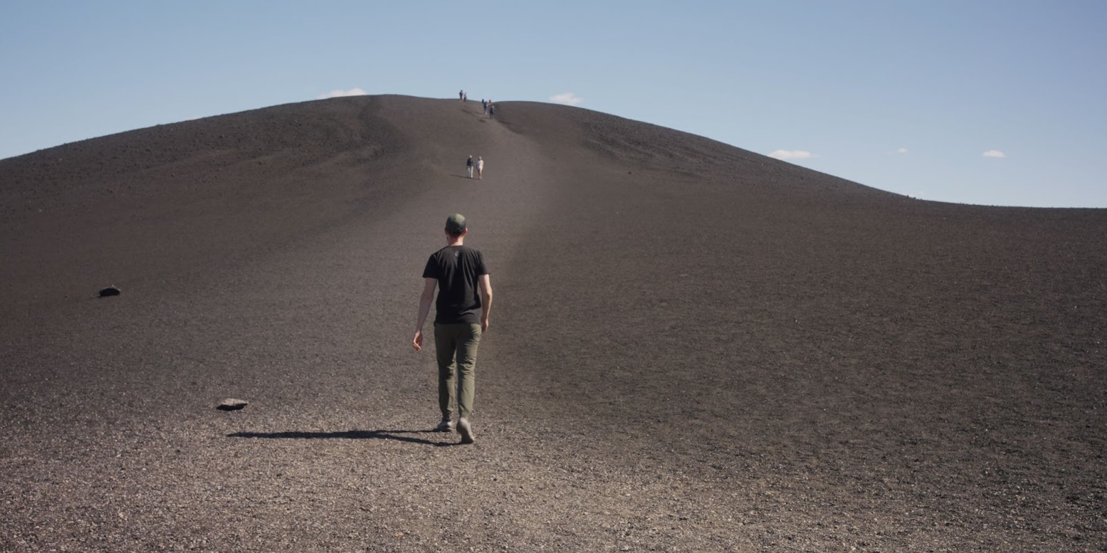
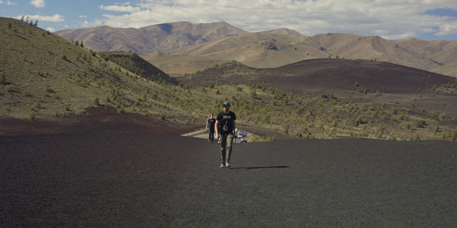
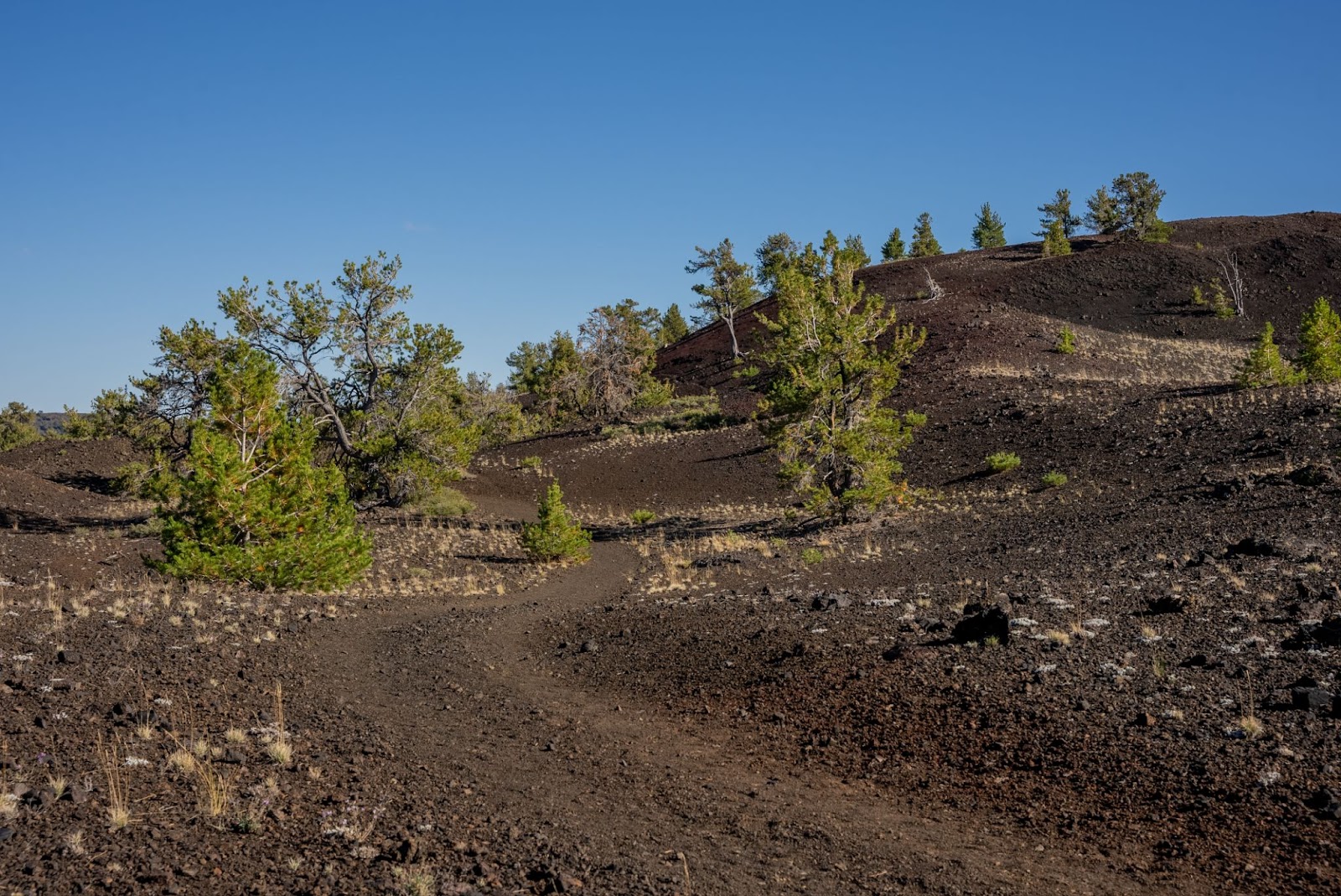
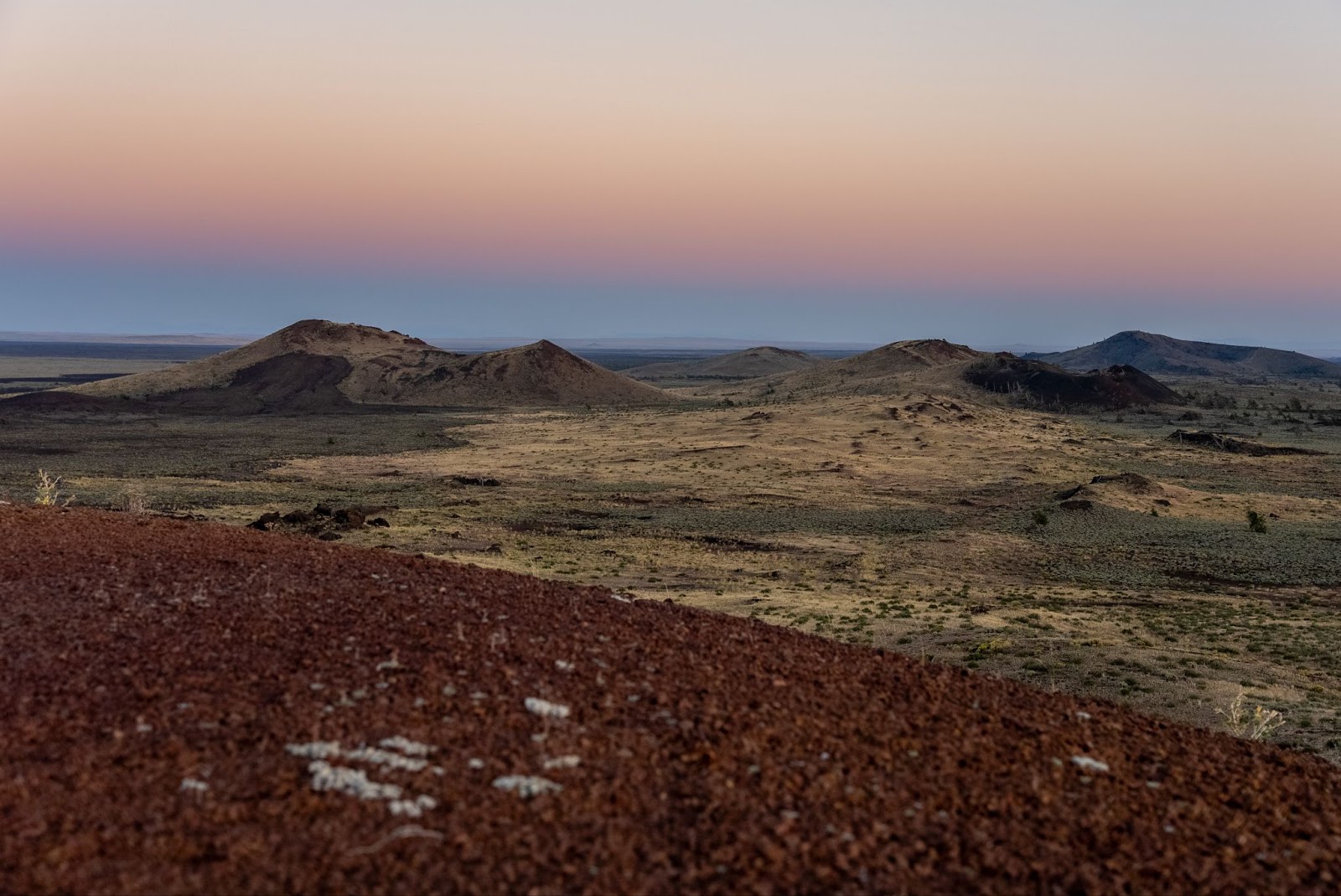
Stop Three: Craters of The Moon National Monument
Next stop, Craters of the Moon!
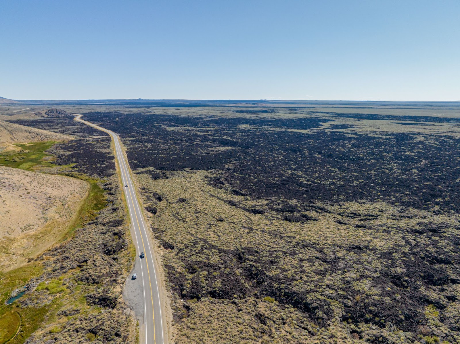
It looks just how the name sounds, A landscape made up of black lava rock and covered in crater-looking cinder cones. Definitely stop by the visitor’s center and learn about some of the crazy history and geology of the place!
The Park
The park is just over 1000 sq miles, there’s a 7-mile Loop Rd with 8 roadside attractions all of which you can do in a day. I think this would be a great activity for anyone who wants a gorgeous yet chill day activity.
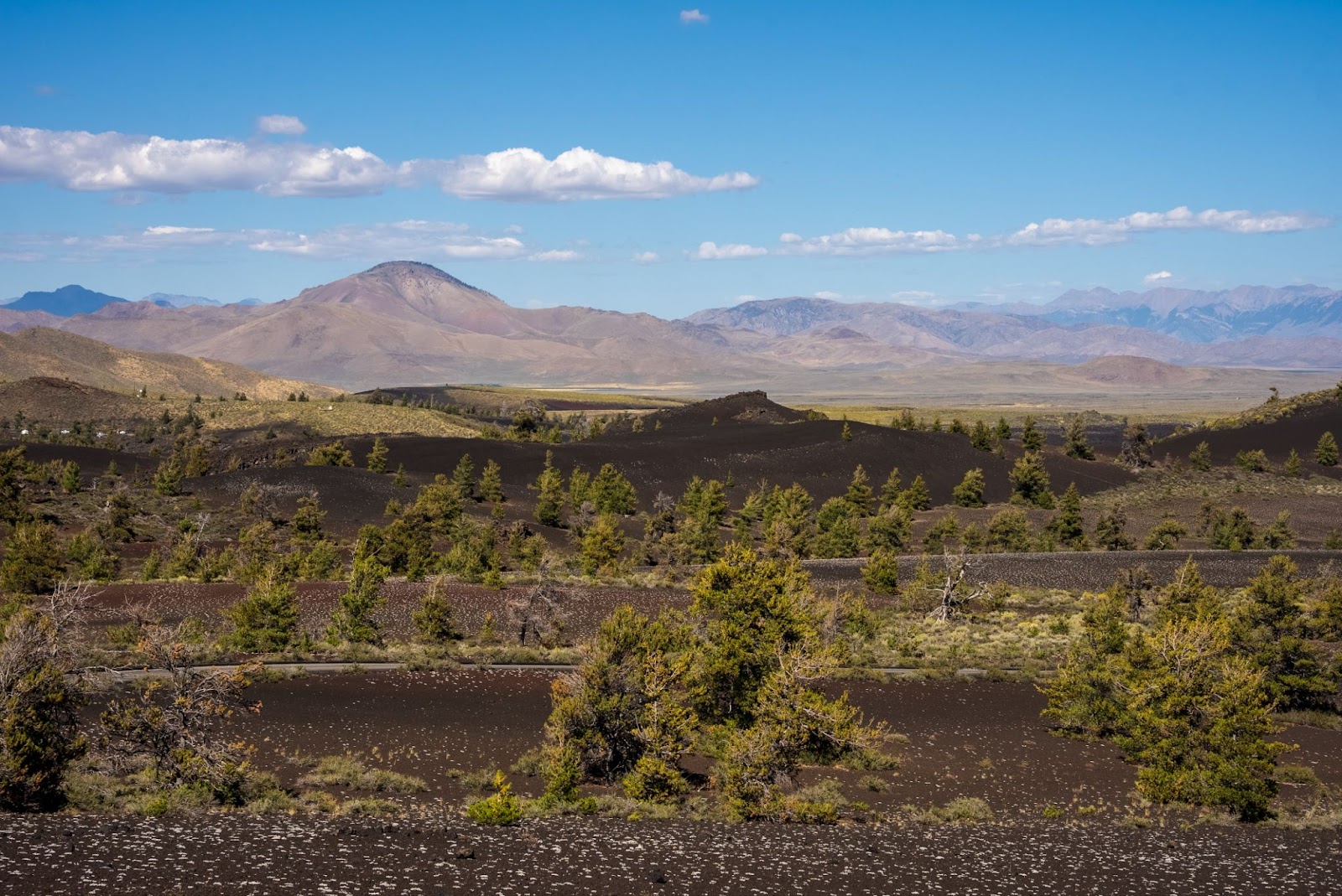
The Backcountry
The rest of the 1000 Sq miles not on the Loop rd, are designated wilderness and can be camped on for free. You have to stop by the visitors center to get a wilderness permit, but it’s a fast and easy process.
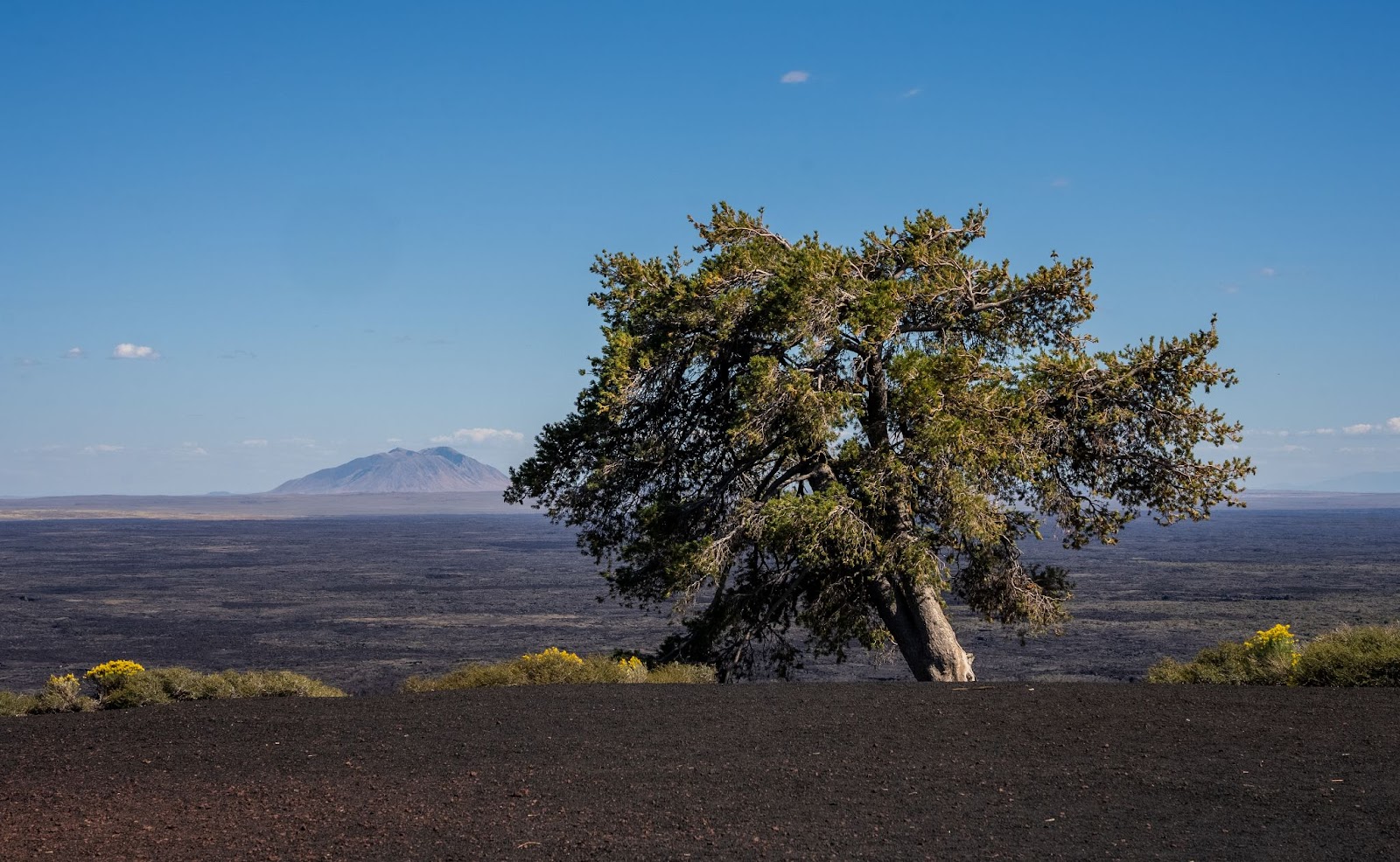
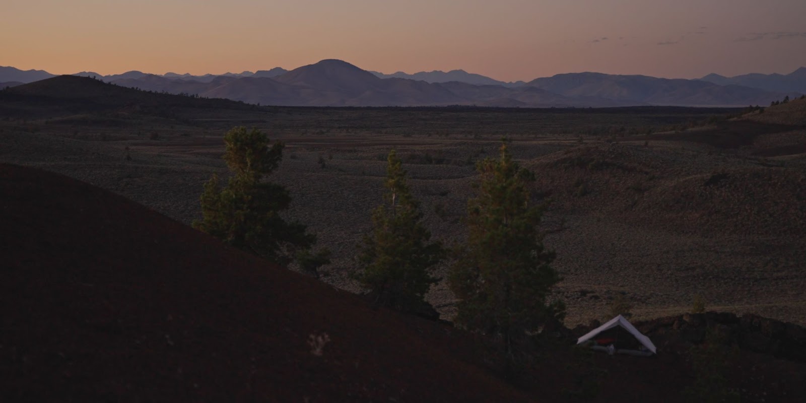
I decided on Echo Crater basically by pointing to a random spot on the map where the topographical geography looked cool. This turned out to be an excellent strategy and would become one of my favorite camp spots of the entire trip.
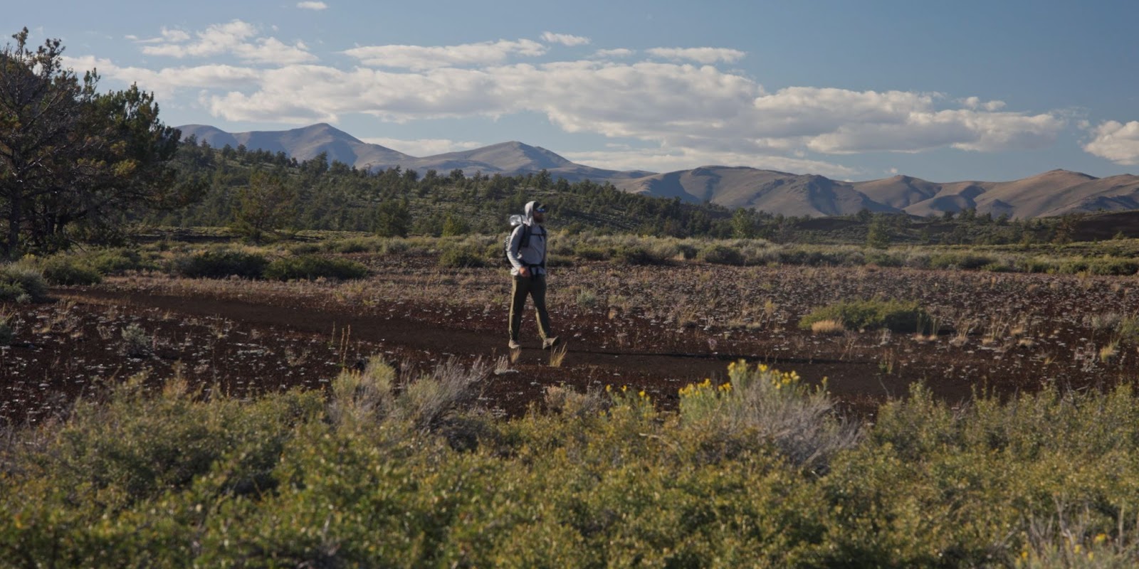
I walked 4 miles across some crazy lava formations, and open rolling jet-black hills. I’ve never really seen anything like it. As I neared the cinder cone, it towered over the surrounding landscape. The views were immaculate, and there wasn’t a soul in sight.
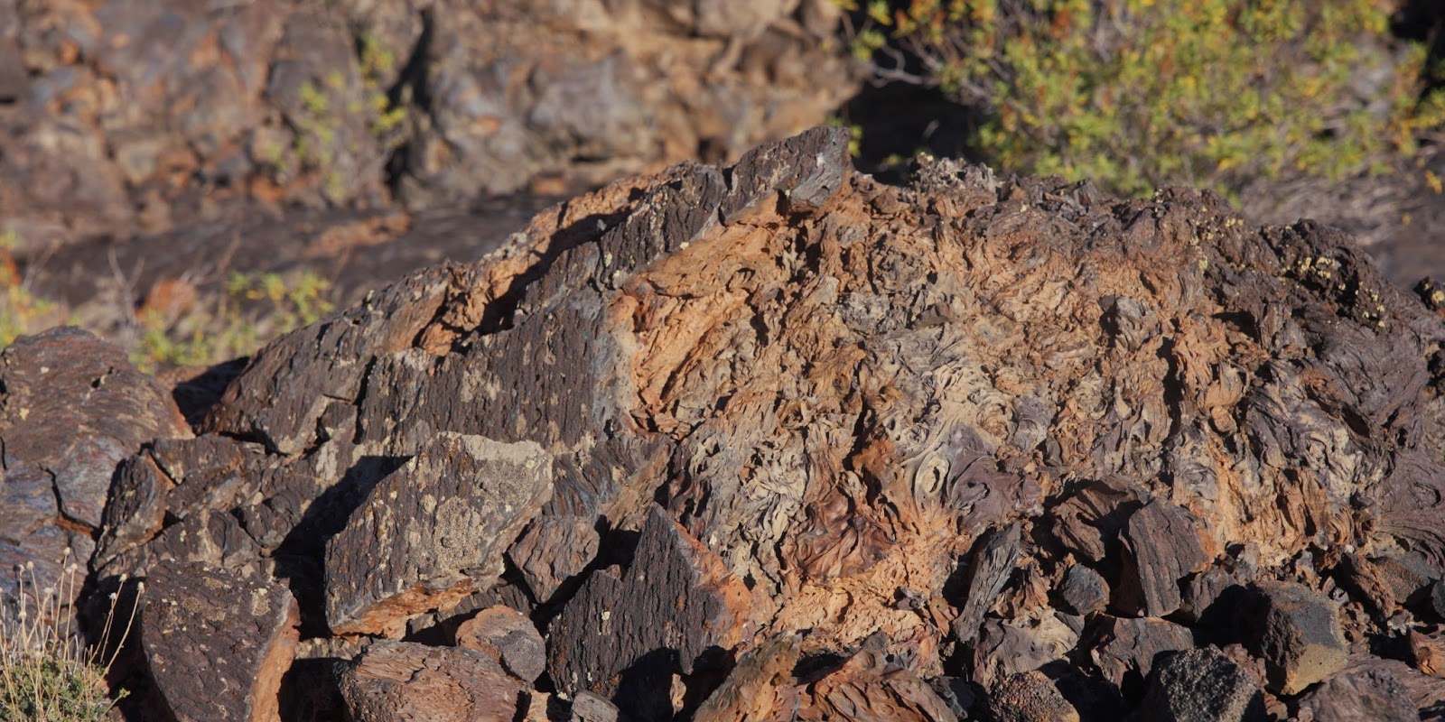
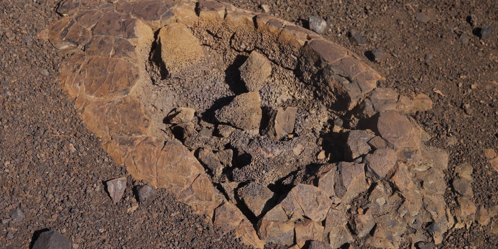
Lava Formation.
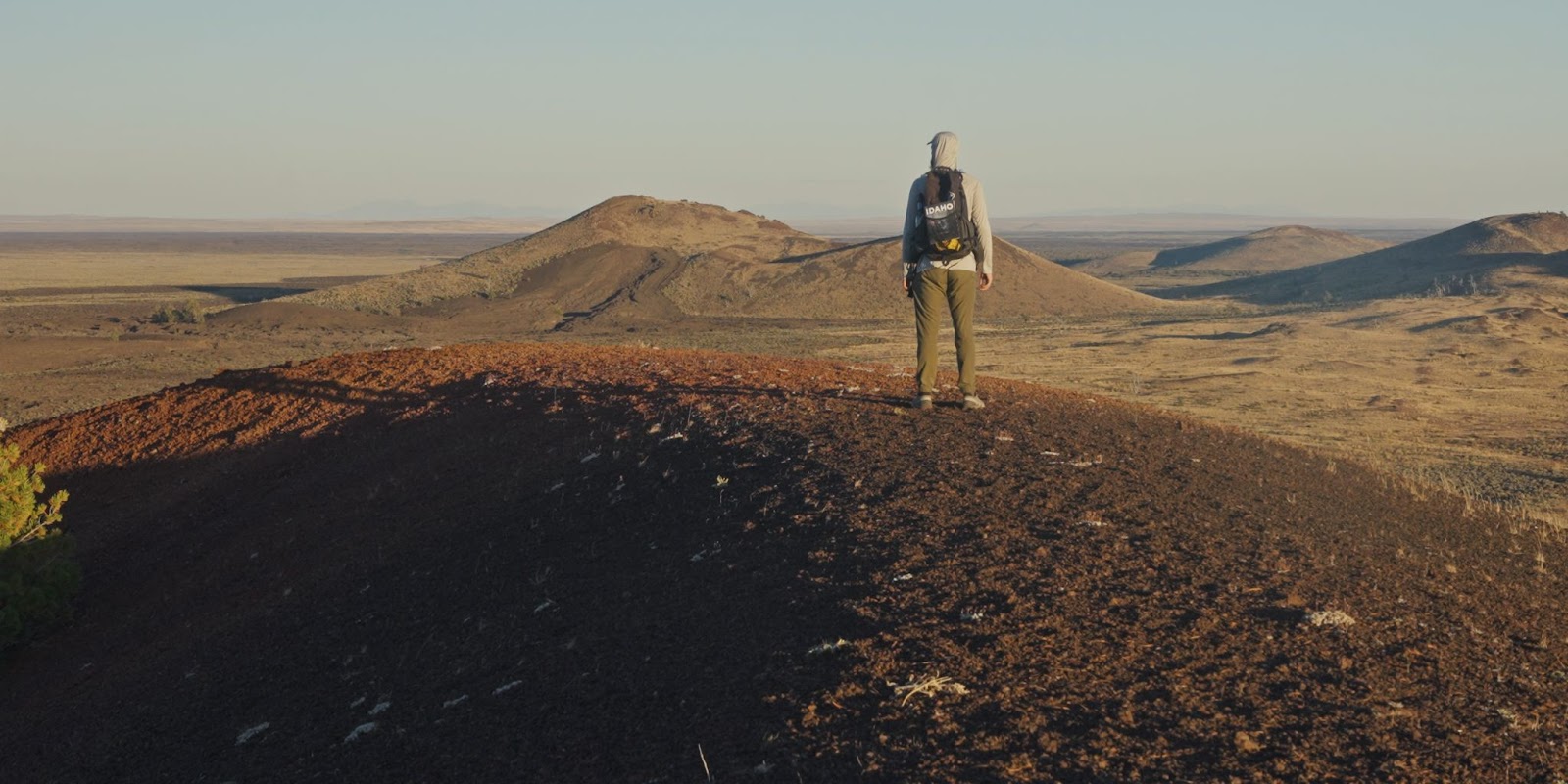
View from the top of Echo Crater.
Dinner and a good read!
Final views as the sunset.
Epic Campsite.
Stop Four: One Falls, Two Falls…
Next stop…Twin Falls! I had heard about this from my parents, and once again done absolutely zero research on it. But I was certain there would be waterfalls.
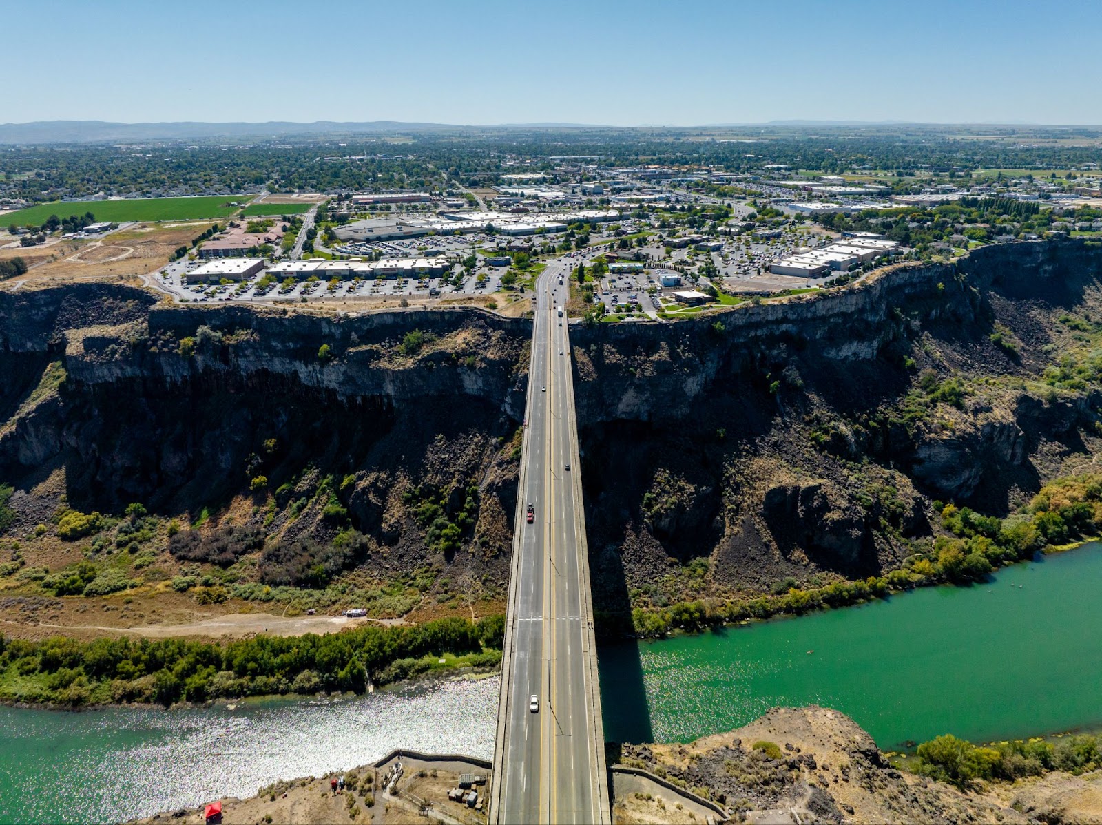
Twin Falls Bridge.
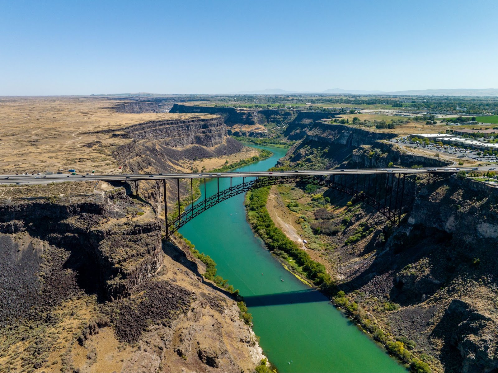
Bridge and Snake River Gorge.
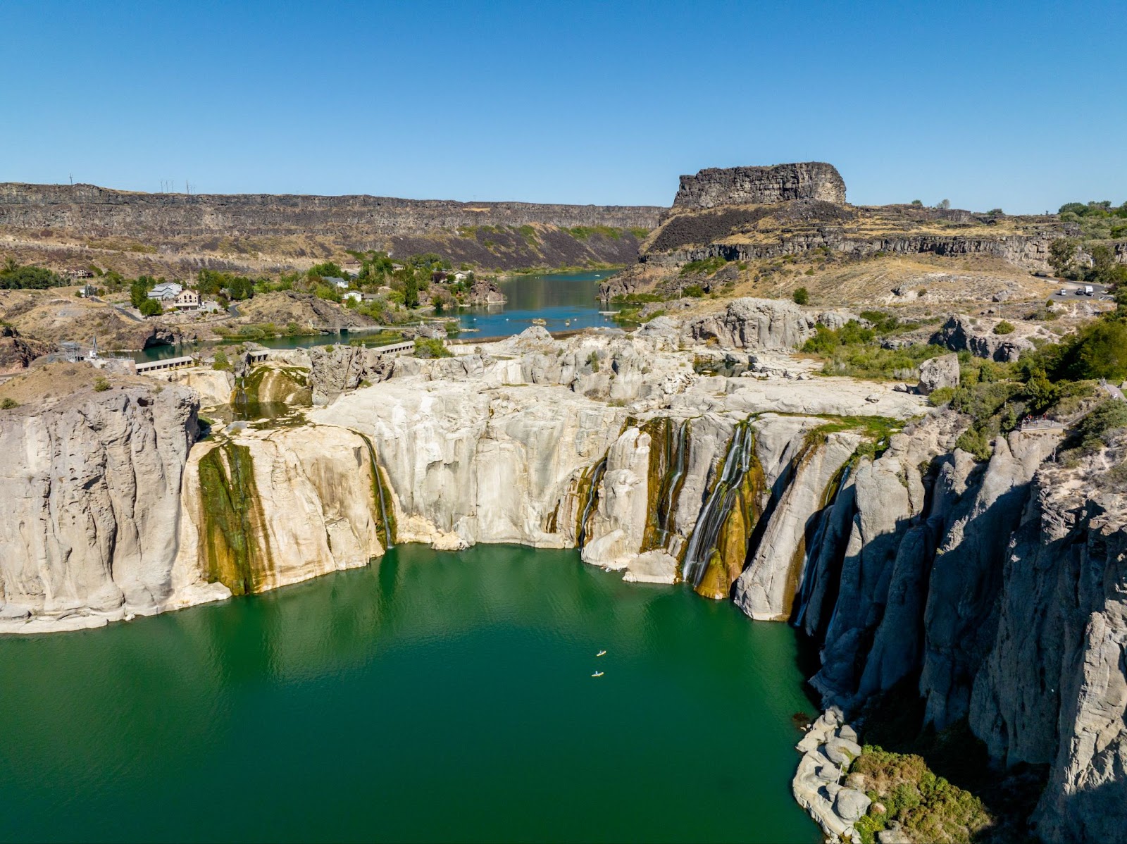
Waterfalls
Standing 212 feet tall and 900 feet wide, Shoshone Falls is a breathtaking site to behold. It’s actually higher than Niagara Falls! Unlike Niagara Falls, however, you don’t need to elbow your way to a viewpoint to get a clear picture of the spectacular blue water.
Shoshone Falls.
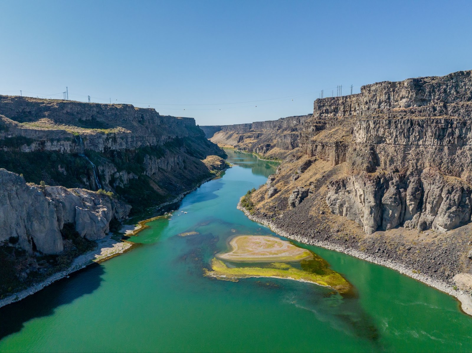
Opposite Shoshone Falls, looking into the Snake River Canyon.
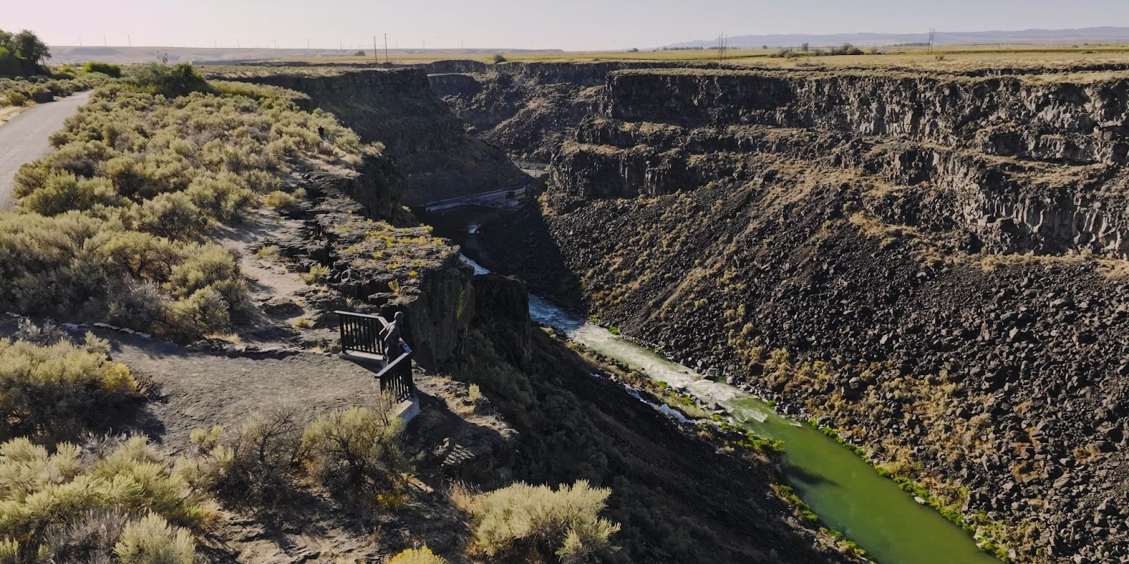
Malad Gorge in Thousand Springs State Park.
Stop Five: Bruneau!
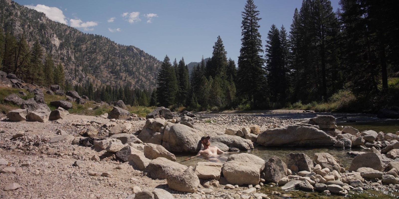
From Twin Falls, I ventured to Mountian Home and the area just beyond, Bruneau.
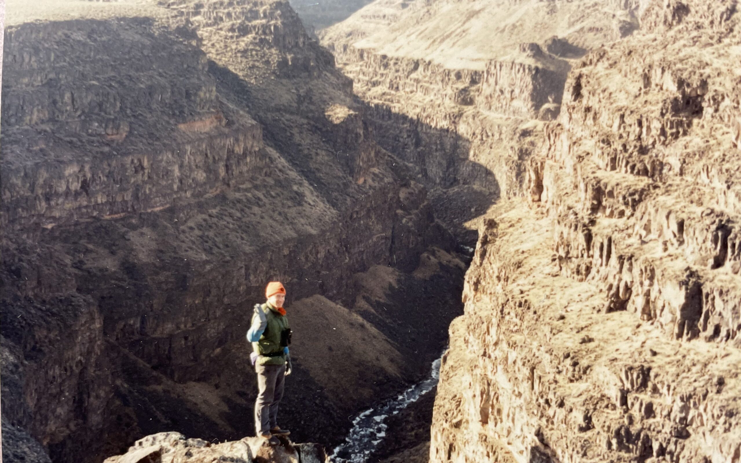
The first thing I noticed about Bruneau Canyon was the silence. Just a cool breeze gently flowing, and the sound of the river below echoing up the canyon walls. Not a soul in sight!
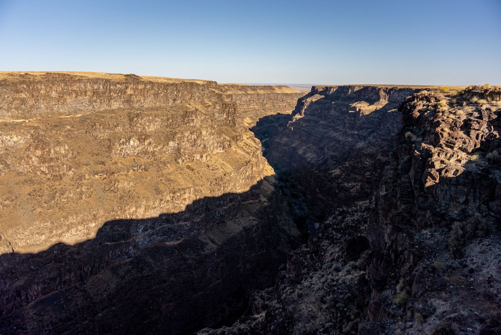
My parents had better light when they photographed it.
The next stop was Bruneau Dunes State Park. Sandboards are available at the visitors center for about $15 and I was eager to try them out.
The dunes don’t look like much from afar, but as you get closer and closer they begin to tower over you and you get a feel for just how big they actually are! I waxed up my board and began ascending the giant dune.
.
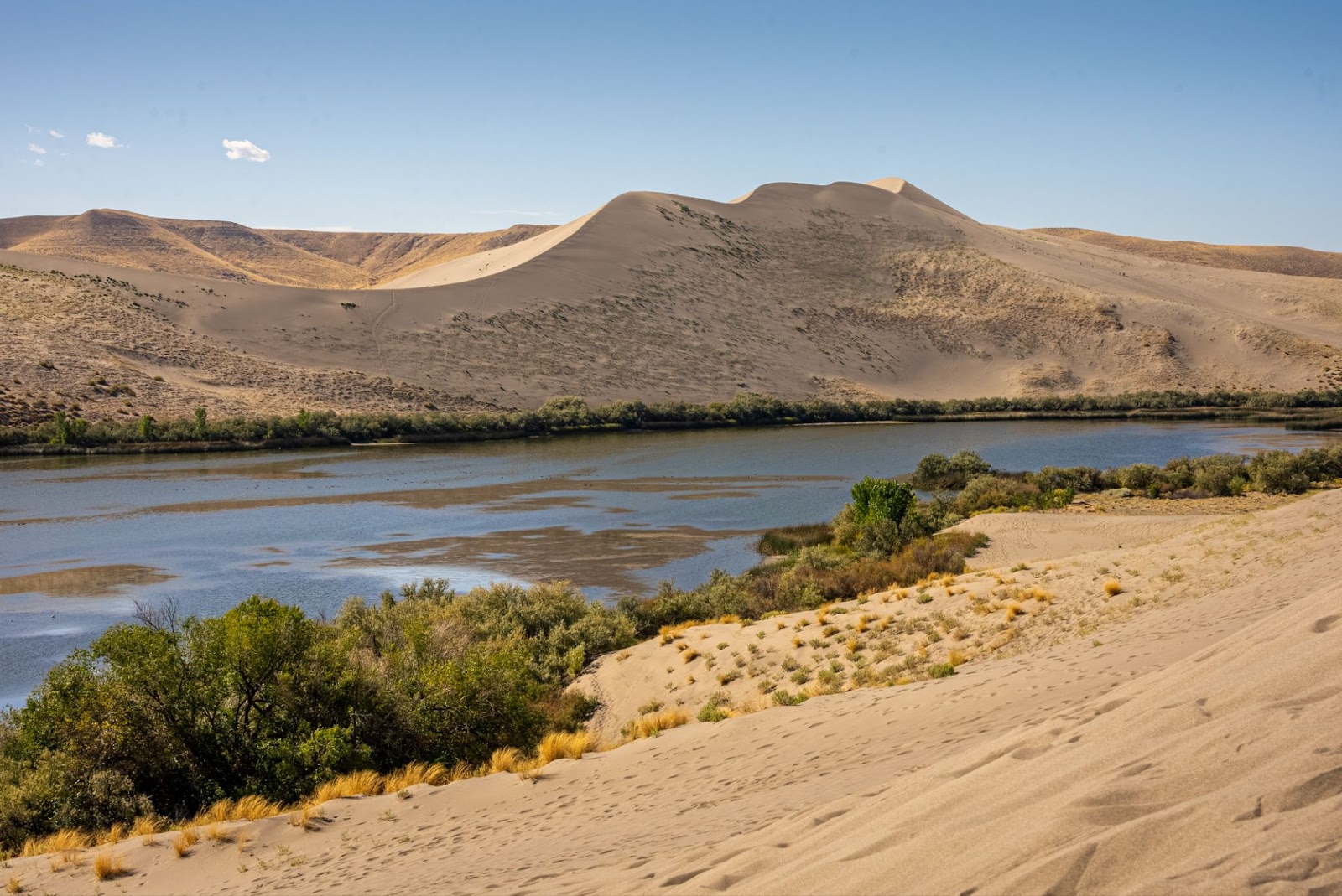
The aptly named Dune Lake.
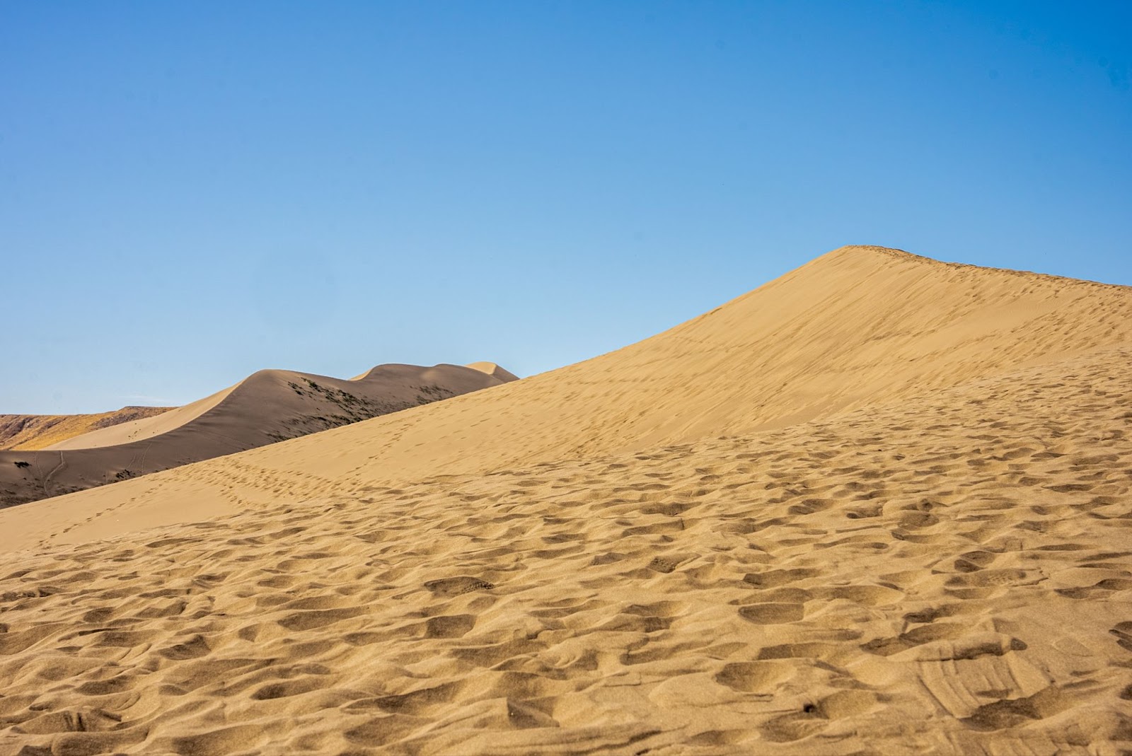
Dune.
As it turns out I’m not very good at sandboarding. Despite this, it was still the most fun I’ve ever had on a sand dune!
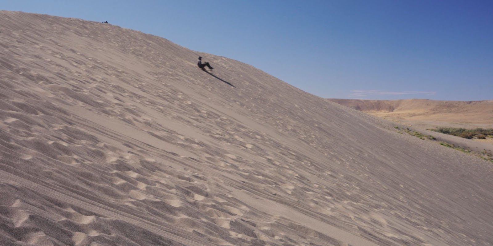
Moments before eating it.
Stop Six: The Final Scenic Byway
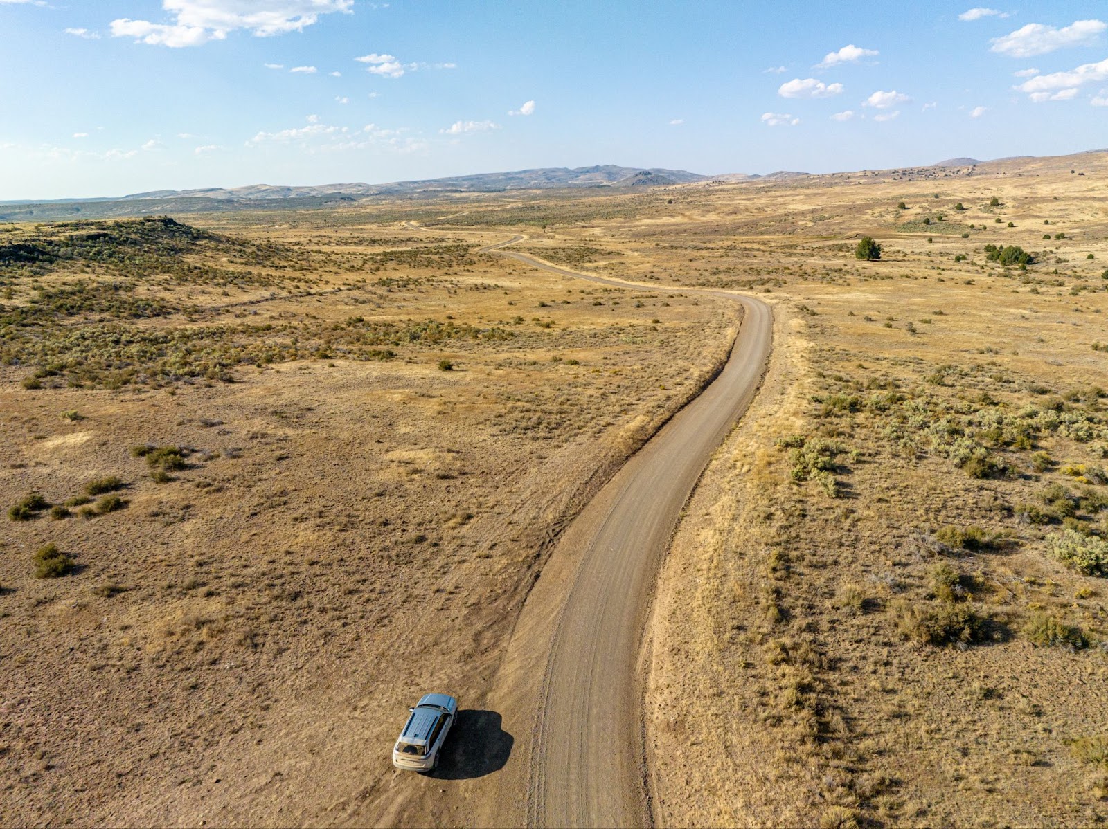
At this point, I thought I had seen it all. One of the coolest parts of Idaho according to the parents, was the Owyhee’s. This place was REMOTE. The only real road was the 100-mile Owyhee Backcountry Byway!
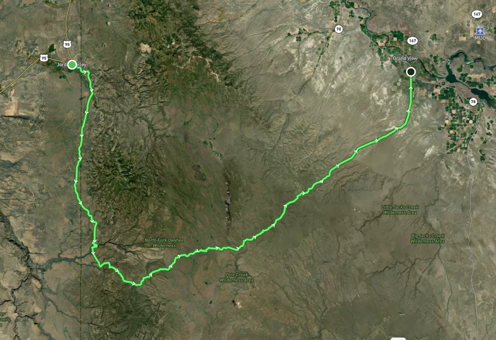
Check out this link for an interactive map of the byway.
Before You Go
I filled up the car with gas, restocked all the supplies, and got plenty of water. This road is NOT the kind of place you want to get stuck in, as the only way out is to either finish it or turn back the way you came.
The byway is about 1.5 lanes wide, it’s a gravel road, but it’s a good gravel road. I think that almost any passenger vehicle could make it as long as the road is dry. Definitely download the All Trails map, or bring a paper one, as there is zero service out there.
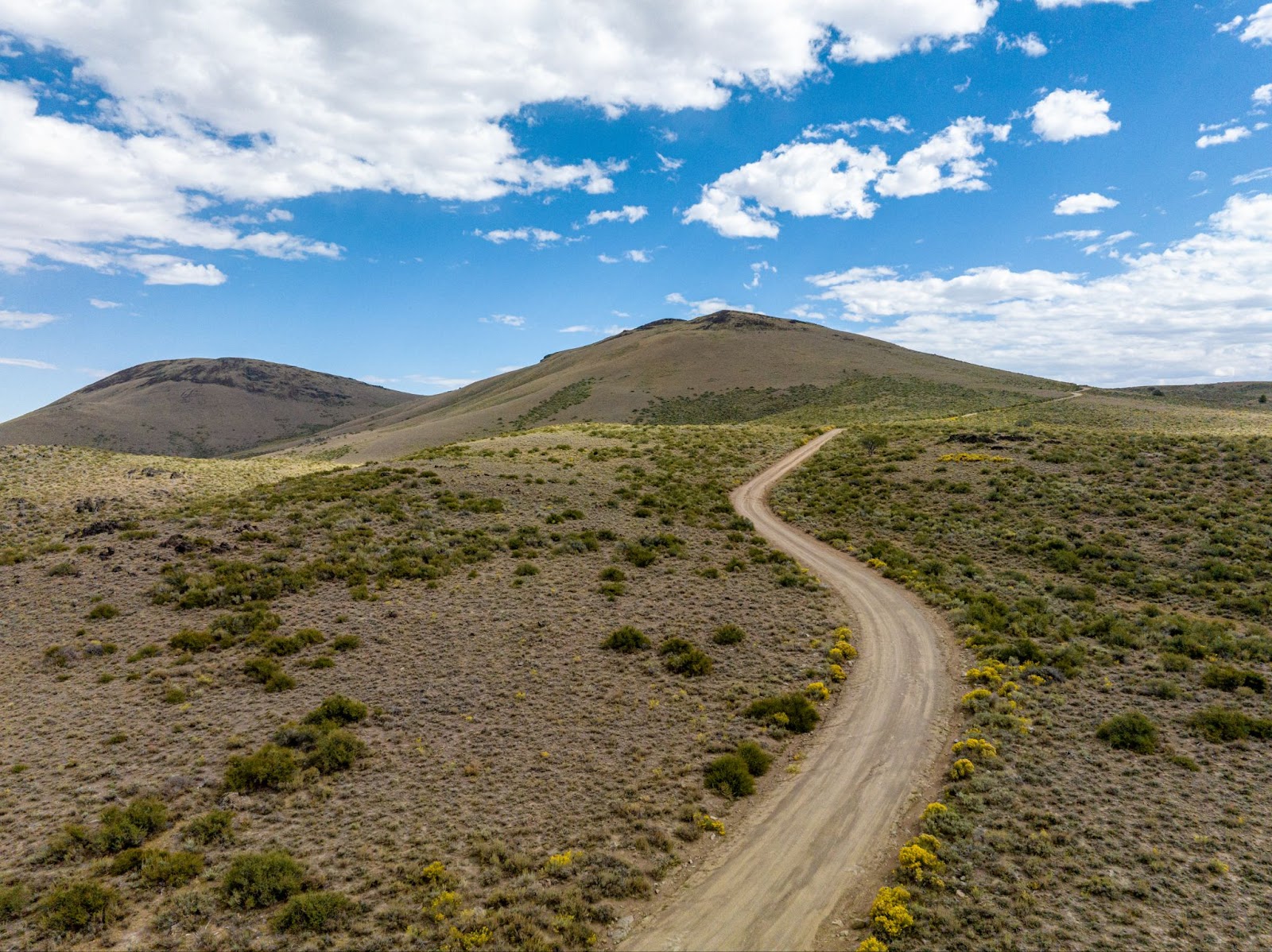
The start of the Byway.
The Byway begins with some super cool rolling brown rocky mountains, and views as far as the eye could see. After a while, some greenery started to appear, as well as some crazy rock formations that seemed to go on forever.
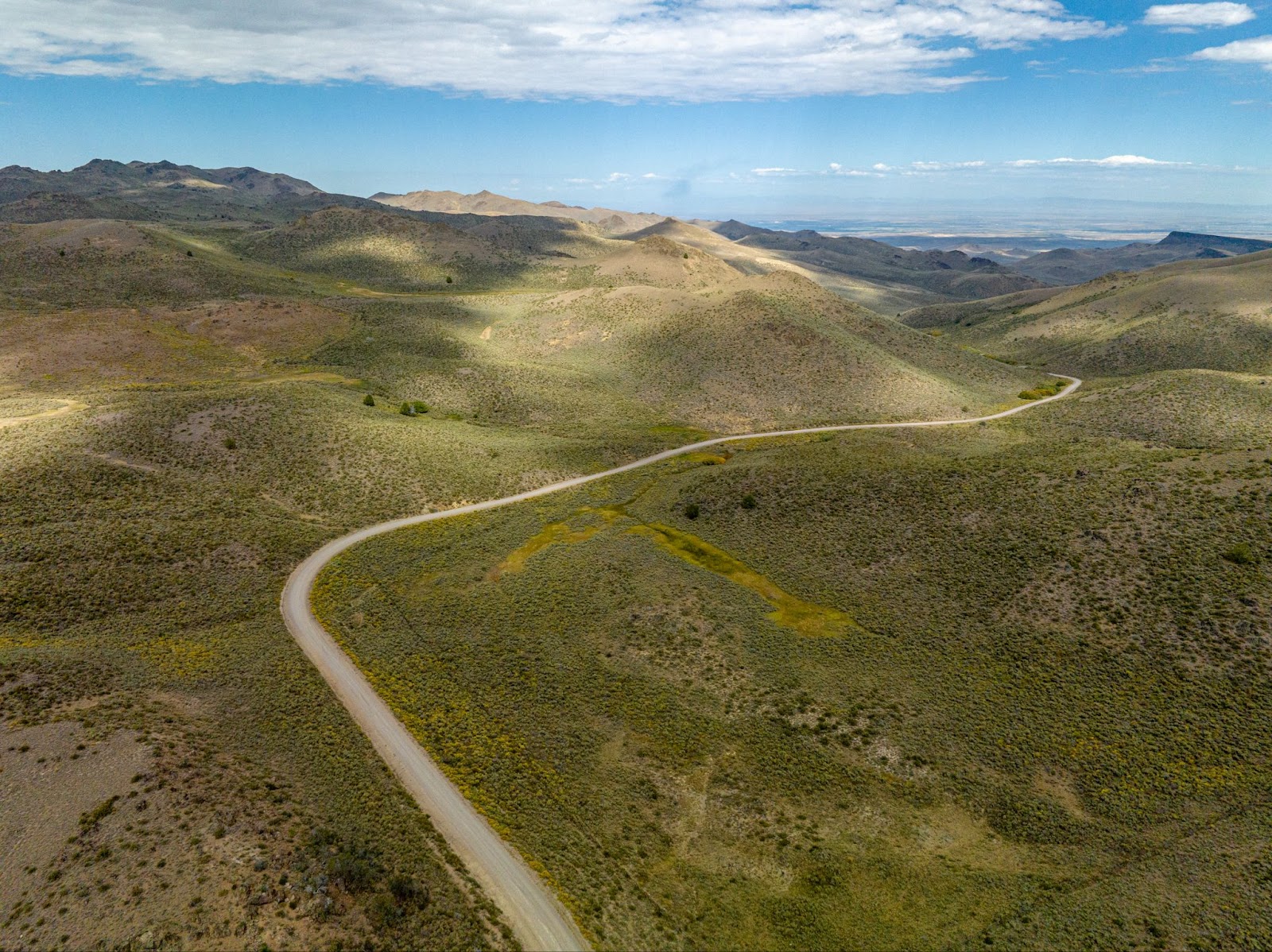
Lots of neat rolling hills.
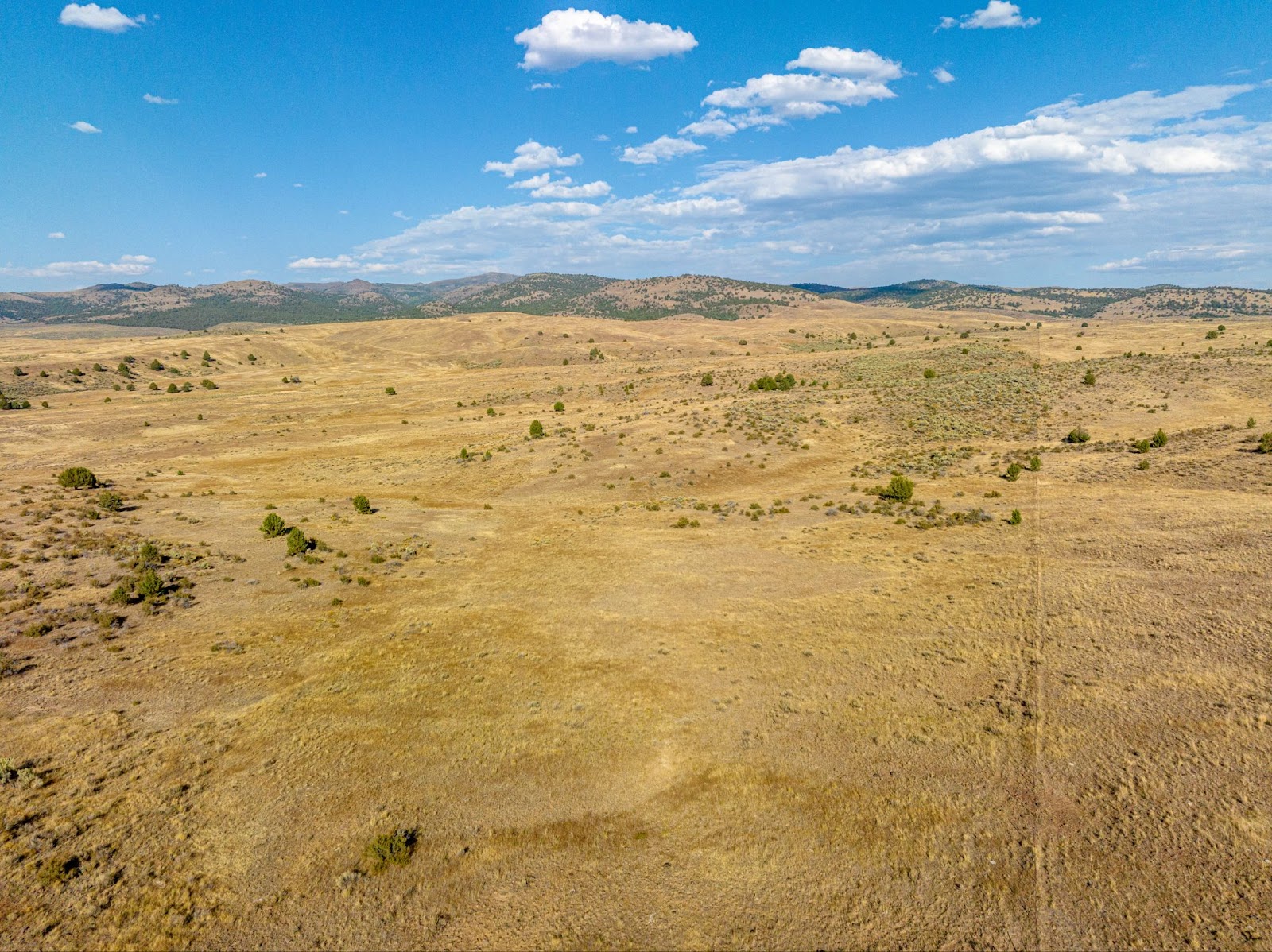
The landscape continued to get cooler, turning into rolling golden grassy hills with the Ohyees as a stunning backdrop. I saw dozens of Pronghorns roaming the grassland.
I wish I could have explored this part more.
More sweet grassland.
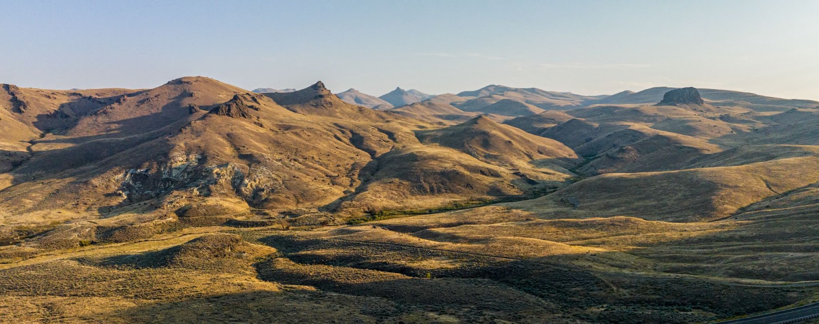
The sun lowering over the Owyhee’s.
My last day in Boise was a busy one. I ended up just driving around the city for the better part of 6 hours, through the bustling downtown, from one end to the other. I ended up on a road going up into the mountains called “North Bogus Basin Rd”. It was absolutely gorgeous with crazy views out to the city to the south and views into the mountains from the north.
Despite all of the rugged natural beauty that exists in the US, I think it’s definitely worth putting Idaho at the top of your list.